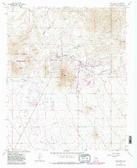
1965 Map of Cave Creek
USGS Topo · Published 1983About this map
Black Mountain Summit dominates the central landscape of this Maricopa County survey, providing a sharp topographical anchor for the growing desert communities of Cave Creek and Carefree. The map illustrates the transition from a remote mining and ranching frontier toward a residential and recreational hub in the mid-1960s. Mining history remains visible through sites like the Mormon Girl Mine and White Eagle Mine, while newer developments such as the Desert Forest Golf Course and a Heliport signal the area's modernization. Significant recreational footprints appear at the Cave Creek Recreation Area, which borders the rugged drainage of Go John Canyon. Further east, the Tonto National Forest boundary marks the edge of the wilderness, and local genealogy is anchored by the Cave Creek Cemetery located just off Carefree Airport Road.
Find a feature on this map
30 named features on this map. Tap any name to fly to it.
Don’t see what you’re looking for? This feature index may not catch every label — zoom into the map to look around manually.
Map Details
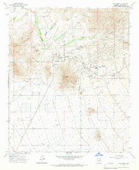
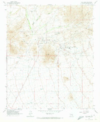
Editions of this 1965 Cave Creek Map
3 editions found
Other maps of this area

1904 · Camelback
USGS Topo · 1:62,500

1906 · Camelsback
USGS Topo · 1:62,500

1930 · Cave Creek
USGS Topo · 1:125,000

1939 · Cave Creek
USGS Topo · 1:125,000

1954 · Phoenix
USGS Topo · 1:250,000

1954 · Mesa
USGS Topo · 1:250,000

1957 · Mesa
USGS Topo · 1:250,000

1957 · Phoenix
USGS Topo · 1:250,000

1958 · Mesa
USGS Topo · 1:250,000

1958 · Phoenix
USGS Topo · 1:250,000