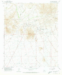
1965 Map of Cave Creek
USGS Topo · Published 1973About this map
The Sonoran high desert landscape around Cave Creek and the planned community of Carefree was just beginning its transition toward suburban growth during the mid-1960s. This survey illustrates the early infrastructure of these desert outposts, featuring a Heliport, the Desert Forest Golf Course, and a prominent Trailer Park that served as a core residential node. While modern amenities were taking shape, the area's prospecting history remained visible through the Mormon Girl Mine and White Eagle Mine located in the surrounding hills. To the north and east, the Tonto National Forest and landmarks like Go John Mtn and Black Mtn define a rugged geography dominated by seasonal drainages such as Galloway Wash and Grapevine Wash. For local historians, the inclusion of the Cave Creek Cemetery and numerous family or ranch-related water features like Charlie Tank and Palo Verde Tank offers specific insights into the original settlement patterns before the rapid expansion of the Phoenix metropolitan area.
Find a feature on this map
26 named features on this map. Tap any name to fly to it.
Don’t see what you’re looking for? This feature index may not catch every label — zoom into the map to look around manually.
Map Details
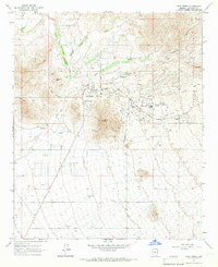
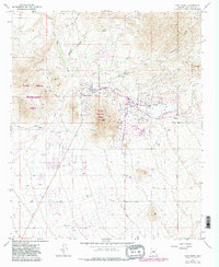
Editions of this 1965 Cave Creek Map
3 editions found
Other maps of this area

1904 · Camelback
USGS Topo · 1:62,500

1906 · Camelsback
USGS Topo · 1:62,500

1930 · Cave Creek
USGS Topo · 1:125,000

1939 · Cave Creek
USGS Topo · 1:125,000

1954 · Phoenix
USGS Topo · 1:250,000

1954 · Mesa
USGS Topo · 1:250,000

1957 · Mesa
USGS Topo · 1:250,000

1957 · Phoenix
USGS Topo · 1:250,000

1958 · Mesa
USGS Topo · 1:250,000

1958 · Phoenix
USGS Topo · 1:250,000