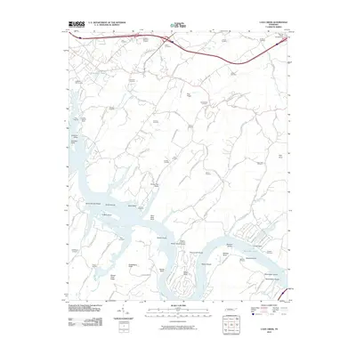
2010 Map of Cave Creek
USGS Topo · Published 2010About this map
Watts Bar Lake dominates the southern landscape of this Roane County region, winding past prominent river features like Matlock Bend and Wright Bend. The topography is defined by parallel ridges and valleys, including Johnston Valley and Hines Valley, which reflect the classic Appalachian Ridge-and-Valley province character. Along the river, numerous islands and shoals such as Wilson Island and Bacon Shoals are mapped in detail, alongside landmarks like Paint Rock Bluff.
Find a feature on this map
110 named features on this map. Tap any name to fly to it.
Don’t see what you’re looking for? This feature index may not catch every label — zoom into the map to look around manually.
Map Details
Editions of this 2010 Cave Creek Map
This is the sole edition of this map. No revisions or reprints were ever made.
Other maps of this area

1887 · Kingston
USGS Topo · 1:125,000

1891 · Kingston
USGS Topo · 1:125,000

1893 · Kingston
USGS Topo · 1:125,000

1895 · Loudon
USGS Topo · 1:125,000

1935 · Lenoir City
USGS Topo · 1:24,000

1935 · Elverton
USGS Topo · 1:24,000

1935 · Bethel Valley
USGS Topo · 1:24,000

1935 · Harriman
USGS Topo · 1:24,000

1935 · Philadelphia
USGS Topo · 1:24,000

1936 · Cave Creek
USGS Topo · 1:24,000