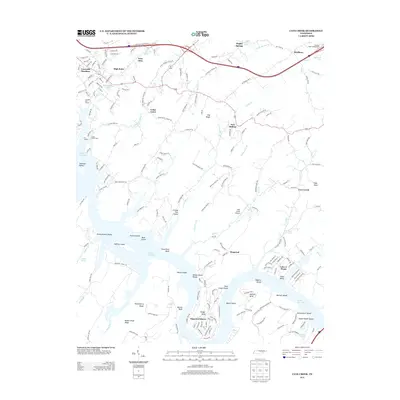
2013 Map of Cave Creek
USGS Topo · Published 2013About this map
Watts Bar Lake dominates the southern reaches of this landscape, its expansive waters surrounding prominent landforms like Seven Islands, Bush Island, and Huffine Island. The terrain is defined by a series of distinct ridges and bluffs, including Dug Ridge and Paint Rock Bluff, which direct the flow of numerous tributaries such as Caney Cr and Wolf Cr. The settlement pattern reflects a mix of established rural communities and newer lakeside developments, with Lawnville Meadows and Twin Oaks in the north contrasting with the waterfront residential clusters at Dogwood Shores and Lake-A-Wana.
Find a feature on this map
69 named features on this map. Tap any name to fly to it.
Don’t see what you’re looking for? This feature index may not catch every label — zoom into the map to look around manually.
Map Details
Editions of this 2013 Cave Creek Map
This is the sole edition of this map. No revisions or reprints were ever made.
Other maps of this area

1887 · Kingston
USGS Topo · 1:125,000

1891 · Kingston
USGS Topo · 1:125,000

1893 · Kingston
USGS Topo · 1:125,000

1895 · Loudon
USGS Topo · 1:125,000

1935 · Lenoir City
USGS Topo · 1:24,000

1935 · Elverton
USGS Topo · 1:24,000

1935 · Bethel Valley
USGS Topo · 1:24,000

1935 · Harriman
USGS Topo · 1:24,000

1935 · Philadelphia
USGS Topo · 1:24,000

1936 · Cave Creek
USGS Topo · 1:24,000