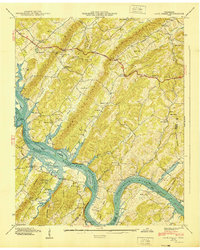
1940 Map of Cave Creek
USGS Topo · Published 1940About this map
Watts Bar Reservoir is the defining presence of this 1940 landscape, with blue stipple indicating the impending transformation of the Tennessee River valley. The Tennessee Valley Authority records the river just as it prepares to submerge landmarks like Seven Islands and Wilson Island. On the higher ground of Ladd Ridge and Chestnut Ridge, the traditional settlement patterns of Roane and Loudon counties remain visible through a network of rural institutions.
Find a feature on this map
58 named features on this map. Tap any name to fly to it.
Don’t see what you’re looking for? This feature index may not catch every label — zoom into the map to look around manually.
Map Details
Editions of this 1940 Cave Creek Map
This is the sole edition of this map. No revisions or reprints were ever made.
Other maps of this area

1887 · Kingston
USGS Topo · 1:125,000

1891 · Kingston
USGS Topo · 1:125,000

1893 · Kingston
USGS Topo · 1:125,000

1895 · Loudon
USGS Topo · 1:125,000

1935 · Lenoir City
USGS Topo · 1:24,000

1935 · Elverton
USGS Topo · 1:24,000

1935 · Bethel Valley
USGS Topo · 1:24,000

1935 · Harriman
USGS Topo · 1:24,000

1935 · Philadelphia
USGS Topo · 1:24,000

1936 · Cave Creek
USGS Topo · 1:24,000