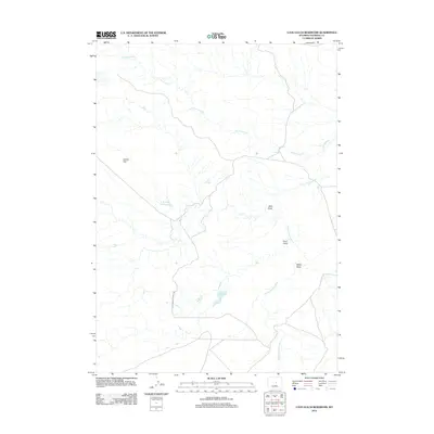
2012 Map of Cave Gulch Reservoir
USGS Topo · Published 2012About this map
Cottonwood Stock Trl cuts through the dry terrain of Natrona County, tracing a path through a landscape defined by seasonal water management and drainage systems. This 2012 survey reveals the hydrological structure of the high plains, where the S Fork Powder River and Cottonwood Cr are supplemented by man-made catchments like Cave Gulch Reservoir and Burke Reservoir. These features speak to the region's reliance on water control for livestock and ranching, as evidenced by the namesake stock trail. Named topographical features like Cactus Flat, Okie Draw, and Cave Gulch provide a sense of the local nomenclature used by those working the land. The map illustrates how roads and trails are positioned to navigate around these intermittent drainages and draws, such as Mikes Draw, which shape the physical accessibility of the Wyoming interior.
Find a feature on this map
9 named features on this map. Tap any name to fly to it.
Don’t see what you’re looking for? This feature index may not catch every label — zoom into the map to look around manually.
Map Details
Editions of this 2012 Cave Gulch Reservoir Map
This is the sole edition of this map. No revisions or reprints were ever made.
Other maps of this area

1955 · Arminto
USGS Topo · 1:250,000

1958 · Arminto
USGS Topo · 1:250,000

1962 · Arminto
USGS Topo · 1:250,000
1968 · Notches Dome
USGS Topo · 1:24,000

1968 · Big Sulfur Draw
USGS Topo · 1:24,000
1968 · Anderson Draw
USGS Topo · 1:24,000
1968 · Natrona
USGS Topo · 1:24,000

1968 · Flat Top Hill
USGS Topo · 1:24,000
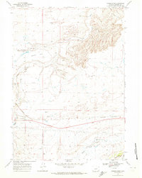
1968 · Powder River
USGS Topo · 1:24,000
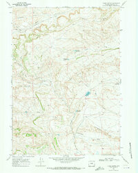
1968 · Three Buttes
USGS Topo · 1:24,000