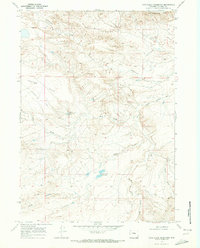
1968 Map of Cave Gulch Reservoir
USGS Topo · Published 1973About this map
Cottonwood Stock Trail winds through this arid section of Natrona County, tracing a historic path for livestock movement across a landscape defined by deep draws and high plateaus. Surveyed in the late 1960s, the terrain is dominated by the Cottonwood Rim to the north and the expansive Cactus Flat to the west. Water management is central to the human footprint here, evidenced by Cave Gulch Reservoir and Burke Reservoir, which capture runoff in an otherwise dry environment.
Find a feature on this map
13 named features on this map. Tap any name to fly to it.
Don’t see what you’re looking for? This feature index may not catch every label — zoom into the map to look around manually.
Map Details
Editions of this 1968 Cave Gulch Reservoir Map
This is the sole edition of this map. No revisions or reprints were ever made.
Other maps of this area

1955 · Arminto
USGS Topo · 1:250,000

1958 · Arminto
USGS Topo · 1:250,000

1962 · Arminto
USGS Topo · 1:250,000
1968 · Notches Dome
USGS Topo · 1:24,000

1968 · Big Sulfur Draw
USGS Topo · 1:24,000
1968 · Anderson Draw
USGS Topo · 1:24,000
1968 · Natrona
USGS Topo · 1:24,000

1968 · Flat Top Hill
USGS Topo · 1:24,000
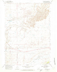
1968 · Powder River
USGS Topo · 1:24,000
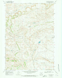
1968 · Three Buttes
USGS Topo · 1:24,000