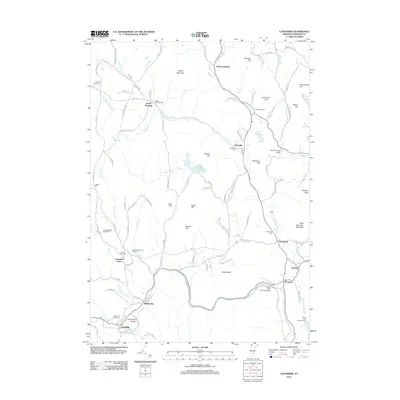
2012 Map of Cavendish
USGS Topo · Published 2012About this map
The Black River and its northern branch carve through the Vermont landscape, defining the layout of historic settlements like Cavendish and Felchville. This survey illustrates the intricate network of brooks and streams, such as Twentymile Stream and Alder Meadow Brook, that shaped the area's development. Local history is deeply embedded in the land, with numerous burial grounds like the Old Revolutionary War Cem and Wheelock Rest House Cem marking the legacy of early residents.
Find a feature on this map
116 named features on this map. Tap any name to fly to it.
Don’t see what you’re looking for? This feature index may not catch every label — zoom into the map to look around manually.
Map Details
Editions of this 2012 Cavendish Map
This is the sole edition of this map. No revisions or reprints were ever made.
Other maps of this area

1906 · Hanover
USGS Topo · 1:62,500

1908 · Hanover
USGS Topo · 1:62,500

1911 · Woodstock
USGS Topo · 1:62,500

1913 · Woodstock
USGS Topo · 1:62,500

1926 · Claremont
USGS Topo · 1:62,500

1928 · Ludlow
USGS Topo · 1:48,000

1929 · Claremont
USGS Topo · 1:62,500

1929 · Ludlow
USGS Topo · 1:62,500

1932 · Ludlow
USGS Topo · 1:62,500

1943 · Woodstock
USGS Topo · 1:62,500