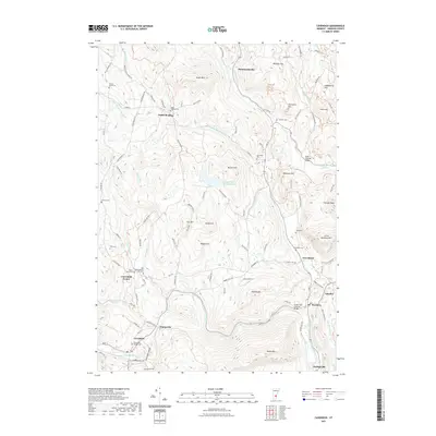
2021 Map of Cavendish
USGS Topo · Published 2021About this map
Cavendish and the Black River corridor define the southern landscape of this Windsor County study, where the river carves through the Cavendish Gorge and Duttonville Gulf. The area's deep history is anchored by several burial grounds, most notably the Old Revolutionary War Cem near Cavendish Center, alongside family and community sites like the South Reading Cem and Amsden Cem. Transportation patterns are marked by traditional river crossings, including the Bests Covered Bridge on Mill Brook and the Upper Falls Covered Bridge further south.
Find a feature on this map
110 named features on this map. Tap any name to fly to it.
Don’t see what you’re looking for? This feature index may not catch every label — zoom into the map to look around manually.
Map Details
Editions of this 2021 Cavendish Map
This is the sole edition of this map. No revisions or reprints were ever made.
Other maps of this area

1906 · Hanover
USGS Topo · 1:62,500

1908 · Hanover
USGS Topo · 1:62,500

1911 · Woodstock
USGS Topo · 1:62,500

1913 · Woodstock
USGS Topo · 1:62,500

1926 · Claremont
USGS Topo · 1:62,500

1928 · Ludlow
USGS Topo · 1:48,000

1929 · Claremont
USGS Topo · 1:62,500

1929 · Ludlow
USGS Topo · 1:62,500

1932 · Ludlow
USGS Topo · 1:62,500

1943 · Woodstock
USGS Topo · 1:62,500