Loading...
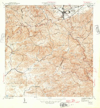
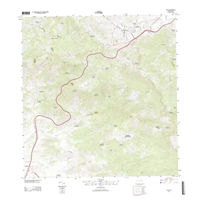
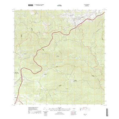
Loading map...1946 Map of Cayey
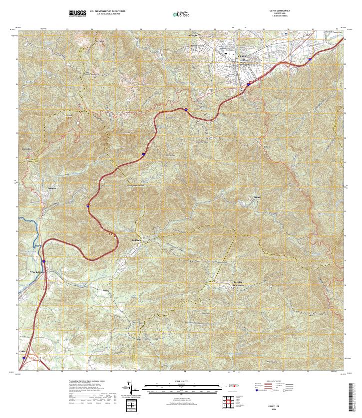
USGS Topo · Published 1946About this map
The town of Cayey and its surrounding barrios serve as the hub for this 1946 study of the Cordillera Central mountains. The map illustrates a transitional landscape where the urban centers of Pueblo Norte and Pueblo Sud meet the rural hacienda economy. Notable agricultural landmarks include Hacienda Húcar, Hacienda Julia, and Hacienda Quebrada Clavell, reflecting the area's mid-century land use.
Find a feature on this map
82 named features on this map. Tap any name to fly to it.
Don’t see what you’re looking for? This feature index may not catch every label — zoom into the map to look around manually.
Map Details
Date Portrayed1946
Date Published1946
PublisherU.S. Geological Survey
Map TypeTopographic
Scale1:30,000
Physical Dimensions19.8 x 21.4 inches
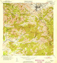
Editions of this 1946 Cayey Map
2 editions found

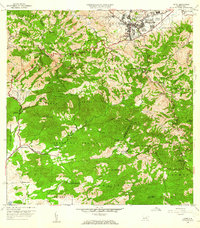
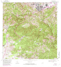
Historical Maps of Cayey Through Time
7 maps found
Featured Locations
- Sector La Sierra, Aibonito
- Alturas de Cantera, Cayey
- Cayey, Cayey
- Sector Ramón Malavé, Cayey
- Sector Rústico Rivera, Cayey
Source Details
SourceU.S. Geological Survey
CopyrightPublic Domain