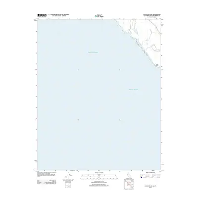
2012 Map of Cayucos OE W
USGS Topo · Published 2012About this map
Point Estero anchors the rugged coastline shown in this 2012 survey of the San Luis Obispo County shoreline. The vast expanse of the Pacific Ocean dominates the sheet, revealing the jagged interface between land and sea where the coastal terrace meets the surf. Inland, the map captures a network of private and ranch access roads that follow the contours of the rising terrain, providing a look at the modern land use patterns in this relatively undeveloped stretch of California coast.
Find a feature on this map
10 named features on this map. Tap any name to fly to it.
Don’t see what you’re looking for? This feature index may not catch every label — zoom into the map to look around manually.
Map Details
Editions of this 2012 Cayucos OE W Map
This is the sole edition of this map. No revisions or reprints were ever made.
Other maps of this area

1897 · Cayucos
USGS Topo · 1:62,500

1900 · San Luis
USGS Topo · 1:125,000

1919 · Adelaida
USGS Topo · 1:62,500

1919 · San Simeon
USGS Topo · 1:62,500

1932 · Adelaida
USGS Topo · 1:62,500

1937 · Cayucos
USGS Topo · 1:62,500

1937 · San Simeon
USGS Topo · 1:62,500

1942 · Adelaida
USGS Topo · 1:62,500

1943 · Cayucos
USGS Topo · 1:62,500

1947 · San Luis Obispo
USGS Topo · 1:250,000