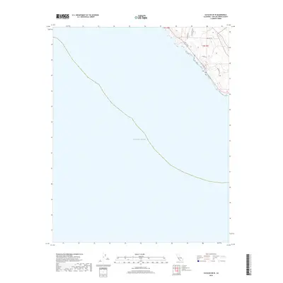
2018 Map of Cayucos OE W
USGS Topo · Published 2018About this map
The Pacific Ocean dominates this coastal survey of San Luis Obispo County, where the California shoreline meets the water in a series of dramatic bluffs and coves. The map captures a residential interface along the northeastern corner, where winding roads like Head Quarters Rd and Seal Cove Dr follow the natural contours of the rising terrain. This specific geography highlights the transition from the marine environment to the elevated coastal ridges. The network of local roads, including Alapay Way and Dw Ridge Rd, suggests a contemporary pattern of development oriented toward the ocean views. Surveyed by the U.S. Geological Survey, the map provides a precise look at the township boundaries of t27s r8e and t28s r9e as they interact with the rugged edge of the continent.
Find a feature on this map
10 named features on this map. Tap any name to fly to it.
Don’t see what you’re looking for? This feature index may not catch every label — zoom into the map to look around manually.
Map Details
Editions of this 2018 Cayucos OE W Map
This is the sole edition of this map. No revisions or reprints were ever made.
Other maps of this area

1897 · Cayucos
USGS Topo · 1:62,500

1900 · San Luis
USGS Topo · 1:125,000

1919 · Adelaida
USGS Topo · 1:62,500

1919 · San Simeon
USGS Topo · 1:62,500

1932 · Adelaida
USGS Topo · 1:62,500

1937 · Cayucos
USGS Topo · 1:62,500

1937 · San Simeon
USGS Topo · 1:62,500

1942 · Adelaida
USGS Topo · 1:62,500

1943 · Cayucos
USGS Topo · 1:62,500

1947 · San Luis Obispo
USGS Topo · 1:250,000