2021 Map of Cayucos OE W
USGS Topo · Published 2021About this map
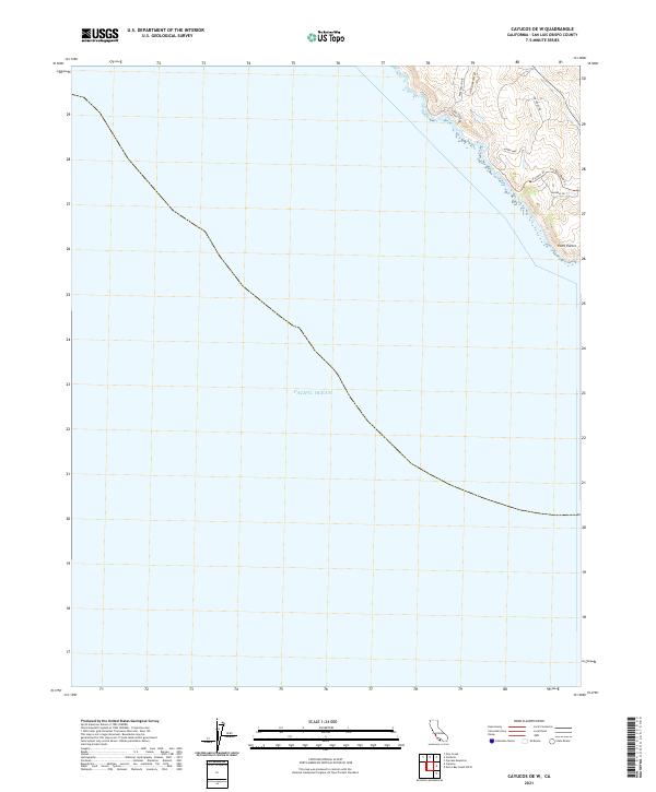
The Pacific Ocean coastline dominates this 2021 survey, which focuses on the rugged edge of the California shore northwest of the Estero Bay region. The prominent landmark Point Estero juts into the sea, marking a sharp transition in the coastal orientation where steep bluffs meet the water. Inland, a network of residential and access roads like Backbay Dr, Sea West Rd, and Nikki Beach Dr suggest a modern residential enclave or coastal development nestled against the hills. The presence of Sea West Road Trl and Dw Ridge Rd indicates a landscape that maintains recreational and utility access along the ridge lines, providing a detailed view of the contemporary infrastructure serving this stretch of the San Luis Obispo County coast.
Find a feature on this map
13 named features on this map. Tap any name to fly to it.
Don’t see what you’re looking for? This feature index may not catch every label — zoom into the map to look around manually.
Map Details
Editions of this 2021 Cayucos OE W Map
This is the sole edition of this map. No revisions or reprints were ever made.
Other maps of this area

1897 · Cayucos
USGS Topo · 1:62,500

1900 · San Luis
USGS Topo · 1:125,000

1919 · Adelaida
USGS Topo · 1:62,500

1919 · San Simeon
USGS Topo · 1:62,500

1932 · Adelaida
USGS Topo · 1:62,500

1937 · Cayucos
USGS Topo · 1:62,500

1937 · San Simeon
USGS Topo · 1:62,500

1942 · Adelaida
USGS Topo · 1:62,500

1943 · Cayucos
USGS Topo · 1:62,500

1947 · San Luis Obispo
USGS Topo · 1:250,000