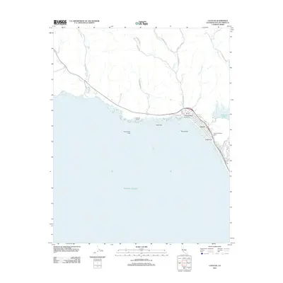
2012 Map of Cayucos
USGS Topo · Published 2012About this map
Cayucos Beach and the town of Cayucos center this coastal survey along Estero Bay, where the Central California shoreline meets a series of drainage creeks. The landscape is defined by the intersection of coastal topography and modern infrastructure, featuring the Whale Rock Reservoir to the east and the prominent Cayucos Pier extending into the Pacific Ocean. Several rocky landmarks such as Constantine Rock, Black Rock, and Mouse Rock dot the shoreline, providing navigational reference points for this section of the San Luis Obispo County coast.
Find a feature on this map
32 named features on this map. Tap any name to fly to it.
Don’t see what you’re looking for? This feature index may not catch every label — zoom into the map to look around manually.
Map Details
Editions of this 2012 Cayucos Map
This is the sole edition of this map. No revisions or reprints were ever made.
Other maps of this area

1897 · Cayucos
USGS Topo · 1:62,500

1900 · San Luis
USGS Topo · 1:125,000

1919 · Adelaida
USGS Topo · 1:62,500

1919 · San Simeon
USGS Topo · 1:62,500

1932 · Adelaida
USGS Topo · 1:62,500

1937 · Cayucos
USGS Topo · 1:62,500

1937 · San Simeon
USGS Topo · 1:62,500

1942 · Adelaida
USGS Topo · 1:62,500

1943 · Cayucos
USGS Topo · 1:62,500

1947 · San Luis Obispo
USGS Topo · 1:250,000