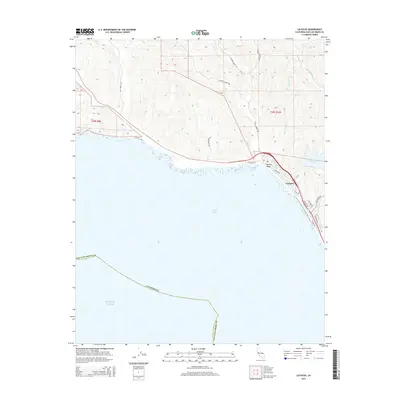
2015 Map of Cayucos
USGS Topo · Published 2015About this map
Cayucos sits along the curve of Estero Bay, serving as the coastal focal point where several mountain-drained waterways meet the Pacific Ocean. This 2015 topography reveals a landscape shaped by both natural drainage and modern water management, notably the Whale Rock Reservoir situated just inland. The map details a transition from the sandy expanse of Cayucos Beach to the steep canyons of the Santa Lucia Range, carved by Cottontail Creek, Cayucos Creek, and Little Cayucos Creek.
Find a feature on this map
29 named features on this map. Tap any name to fly to it.
Don’t see what you’re looking for? This feature index may not catch every label — zoom into the map to look around manually.
Map Details
Editions of this 2015 Cayucos Map
This is the sole edition of this map. No revisions or reprints were ever made.
Other maps of this area

1897 · Cayucos
USGS Topo · 1:62,500

1900 · San Luis
USGS Topo · 1:125,000

1919 · Adelaida
USGS Topo · 1:62,500

1919 · San Simeon
USGS Topo · 1:62,500

1932 · Adelaida
USGS Topo · 1:62,500

1937 · Cayucos
USGS Topo · 1:62,500

1937 · San Simeon
USGS Topo · 1:62,500

1942 · Adelaida
USGS Topo · 1:62,500

1943 · Cayucos
USGS Topo · 1:62,500

1947 · San Luis Obispo
USGS Topo · 1:250,000