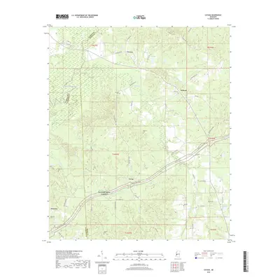
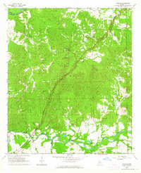
2018 Map of Cayuga
USGS Topo · Published 2018About this map
Cayuga and Reganton anchor this rural landscape where the Big Black River forms the winding western boundary between Warren, Hinds, and Claiborne counties. This 2018 survey captures the modern alignment of the Natchez Trace Pkwy as it traverses the terrain formerly connected by the Old Port Gibson Road. The interior is defined by a series of small watercourses including Fivemile Creek and Commissioners Creek, which drain the heavily wooded hills of the Big Black basin. For local historians and genealogists, the map provides precise locations for numerous family and community burial sites, including Belmont Cemetery, McElwee Cemetery, and Turner Cemetery, many of which are tucked away on small rural routes like Charlie Brown Road. The presence of Regan Island in the river and the quiet settlements of Newman and Hubbard reflect the enduring agricultural and residential character of this Mississippi backcountry.
Find a feature on this map
60 named features on this map. Tap any name to fly to it.
Don’t see what you’re looking for? This feature index may not catch every label — zoom into the map to look around manually.
Map Details
Editions of this 2018 Cayuga Map
This is the sole edition of this map. No revisions or reprints were ever made.
Other maps of this area
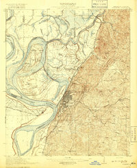
1918 · Vicksburg
USGS Topo · 1:62,500
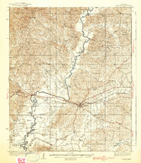
1938 · Edwards
USGS Topo · 1:62,500
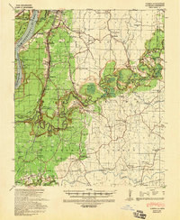
1939 · Yokena
USGS Topo · 1:62,500
1941 · Vicksburg
USGS Topo · 1:62,500

1955 · Jackson
USGS Topo · 1:250,000

1961 · Jackson
USGS Topo · 1:250,000
1962 · Jackson
USGS Topo · 1:250,000
1962 · Vicksburg East
USGS Topo · 1:24,000
1962 · Utica West
USGS Topo · 1:24,000
1963 · Carlisle
USGS Topo · 1:24,000