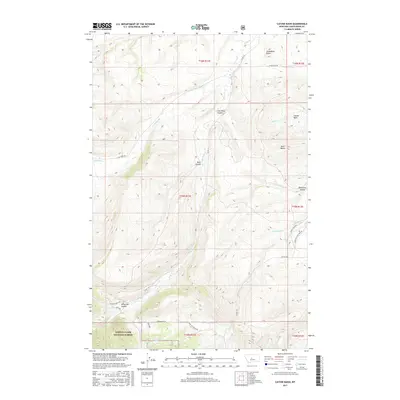
2017 Map of Cayuse Basin
USGS Topo · Published 2017About this map
Lewis & Clark National Forest encompasses the southwestern portion of this map, where the high terrain descends into the namesake Cayuse Basin. This landscape is deeply carved by a network of drainage systems, most notably Wolf Cr and its tributaries Dry Wolf Cr and Running Wolf Cr. The presence of Coal Mine Coulee in the north suggests the region's industrial ties, while local landmarks like Steamboat Butte and Skull Butte provide distinct navigational points. A sparse but significant road network, including the evocative Stagecoach Rd and Sage Crk Trlhd Rd, connects these remote coulees and creek bottoms, tracing the historic movement of people and livestock through Judith Basin County.
Find a feature on this map
32 named features on this map. Tap any name to fly to it.
Don’t see what you’re looking for? This feature index may not catch every label — zoom into the map to look around manually.
Map Details
Editions of this 2017 Cayuse Basin Map
This is the sole edition of this map. No revisions or reprints were ever made.
Other maps of this area
1886 · Little Belt Mts.
USGS Topo · 1:250,000
1890 · Fort Benton
USGS Topo · 1:250,000
1892 · Fort Benton
USGS Topo · 1:250,000
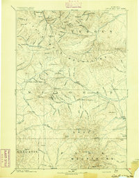
1894 · Little Belt Mts.
USGS Topo · 1:250,000
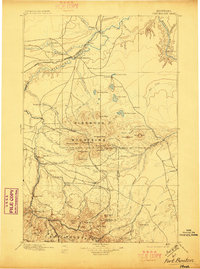
1897 · Fort Benton
USGS Topo · 1:250,000
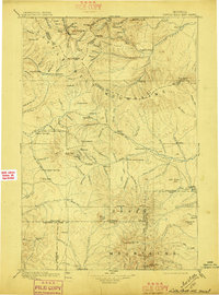
1897 · Little Belt Mts.
USGS Topo · 1:250,000
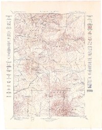
1898 · Little Belt Mts.
USGS Topo · 1:250,000
1902 · Little Belt Mts.
USGS Topo · 1:250,000
1948 · White Sulphur Springs
USGS Topo · 1:250,000

1954 · Great Falls
USGS Topo · 1:250,000