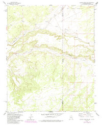
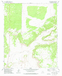
1979 Map of Ceadro Spring SE
USGS Topo · Published 1985About this map
Zuni Indian Reservation land occupies the northern reaches of this territory, where the intermittent Zuni River cuts through the high desert landscape. The terrain is defined by a network of drainage channels, most notably Venadito Draw and Jaralosa Draw, which carve deep paths across the plateau towards the river. This 1979 survey captures the quiet borderland between Apache Co, Arizona, and Cibola Co, New Mexico, just as it appeared in the late 1970s. The map illustrates a remote cattle-country topography where fence lines and unimproved roads provide the only evidence of human modification. Researchers can observe the complex natural drainage patterns and the precise alignment of the state boundary as it stood prior to minor revisions in the mid-1980s.
Find a feature on this map
6 named features on this map. Tap any name to fly to it.
Don’t see what you’re looking for? This feature index may not catch every label — zoom into the map to look around manually.
Map Details
Editions of this 1979 Ceadro Spring SE Map
2 editions found
Other maps of this area

1886 · St Johns
USGS Topo · 1:250,000

1892 · St Johns
USGS Topo · 1:250,000

1954 · Saint Johns
USGS Topo · 1:250,000

1957 · Saint Johns
USGS Topo · 1:250,000

1958 · Saint Johns
USGS Topo · 1:250,000

1962 · Saint Johns
USGS Topo · 1:250,000

1972 · Cantaralo Spring
USGS Topo · 1:24,000
1972 · Ojo Caliente Reservoir
USGS Topo · 1:24,000
1972 · Venadito Camp
USGS Topo · 1:24,000
1977 · Ceadro Spring
USGS Topo · 1:24,000