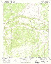
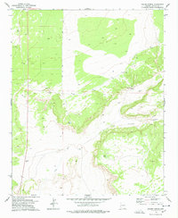
1979 Map of Ceadro Spring SE
USGS Topo · Published 1979About this map
Zuni Indian Reservation lands cross the northern reaches of this high-desert landscape, where the meandering Zuni River defines the local drainage. The terrain is deeply inscribed by seasonal watercourses, most notably Venadito Draw and Jaralosa Draw, which navigate the elevation changes between the Apache and Valencia County line. The 1970s survey captures a sparse environment where water sources like the Spring were critical landmarks for navigation and land use. Straddling the Arizona-New Mexico border, this map provides an essential view of the geopolitical boundaries and natural topography of the high plateau region during a period of modern aerial photogrammetric mapping.
Find a feature on this map
7 named features on this map. Tap any name to fly to it.
Don’t see what you’re looking for? This feature index may not catch every label — zoom into the map to look around manually.
Map Details
Editions of this 1979 Ceadro Spring SE Map
2 editions found
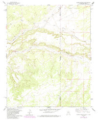
Other maps of this area

1886 · St Johns
USGS Topo · 1:250,000

1892 · St Johns
USGS Topo · 1:250,000

1954 · Saint Johns
USGS Topo · 1:250,000

1957 · Saint Johns
USGS Topo · 1:250,000

1958 · Saint Johns
USGS Topo · 1:250,000

1962 · Saint Johns
USGS Topo · 1:250,000

1972 · Cantaralo Spring
USGS Topo · 1:24,000
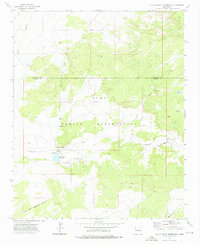
1972 · Ojo Caliente Reservoir
USGS Topo · 1:24,000
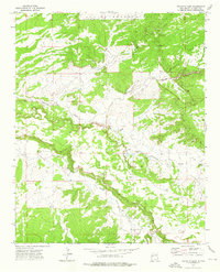
1972 · Venadito Camp
USGS Topo · 1:24,000
1977 · Ceadro Spring
USGS Topo · 1:24,000