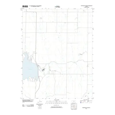
2010 Map of Cedar Bluff Dam
USGS Topo · Published 2010About this map
Cedar Bluff Reservoir dominates the western portion of this High Plains landscape, held by the engineering of the Cedar Bluff Dam across the Smoky Hill River. The surrounding terrain in Trego County is characterized by a sparse, utilitarian network of section-line roads and drainages like Tunnel Creek and Wildon Draw. Beyond the water management infrastructure, the map reveals an active energy economy through several named extractive sites. These include the Younger Oil Field in the north, the Sunny Slope Oil Field centrally located, and the Groff Oil Field to the east. The layout of these fields suggests a landscape where traditional agricultural use exists alongside mid-century and modern petroleum development, following the natural contours of the river valley.
Find a feature on this map
8 named features on this map. Tap any name to fly to it.
Don’t see what you’re looking for? This feature index may not catch every label — zoom into the map to look around manually.
Map Details
Editions of this 2010 Cedar Bluff Dam Map
This is the sole edition of this map. No revisions or reprints were ever made.
Other maps of this area

1893 · Ellis
USGS Topo · 1:125,000

1955 · Great Bend
USGS Topo · 1:250,000

1957 · Great Bend
USGS Topo · 1:250,000

1958 · Great Bend
USGS Topo · 1:250,000
1960 · Trego Center NE
USGS Topo · 1:24,000
1961 · Ogallah
USGS Topo · 1:24,000
1961 · Ellis
USGS Topo · 1:24,000
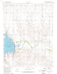
1974 · Cedar Bluff Dam
USGS Topo · 1:24,000
1974 · Cedar Bluff
USGS Topo · 1:24,000
1974 · Ellis SE
USGS Topo · 1:24,000