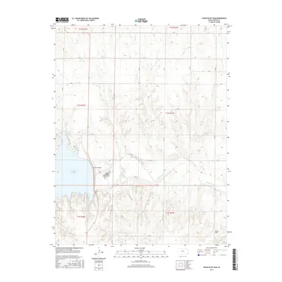
2015 Map of Cedar Bluff Dam
USGS Topo · Published 2015About this map
Cedar Bluff Dam anchors this 2015 study of the southern Trego County landscape, where civil engineering meets the natural drainage of the High Plains. The reservoir created by the dam dominates the western portion of the sheet, while the Smoky Hill River winds eastward through the valley below. The surrounding terrain is defined by a rigid grid of rural corridors, such as S Rd and 360 Ave, which segment the rolling plains into township and range sections. Smaller drainage features like Tunnel Cr and Wildon Draw provide insight into the local topography that dictated original land use. This modern survey reflects the late-20th-century water management infrastructure that reshaped the region's economy and geography, contrasting the engineered expanse of Cedar Bluff Reservoir against the traditional sectional road system of western Kansas.
Find a feature on this map
28 named features on this map. Tap any name to fly to it.
Don’t see what you’re looking for? This feature index may not catch every label — zoom into the map to look around manually.
Map Details
Editions of this 2015 Cedar Bluff Dam Map
This is the sole edition of this map. No revisions or reprints were ever made.
Other maps of this area
1893 · Ellis
USGS Topo · 1:125,000
1955 · Great Bend
USGS Topo · 1:250,000
1957 · Great Bend
USGS Topo · 1:250,000
1958 · Great Bend
USGS Topo · 1:250,000
1960 · Trego Center NE
USGS Topo · 1:24,000
1961 · Ogallah
USGS Topo · 1:24,000
1961 · Ellis
USGS Topo · 1:24,000
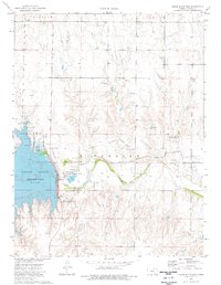
1974 · Cedar Bluff Dam
USGS Topo · 1:24,000
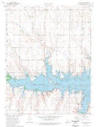
1974 · Cedar Bluff
USGS Topo · 1:24,000
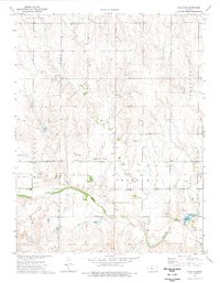
1974 · Ellis SE
USGS Topo · 1:24,000