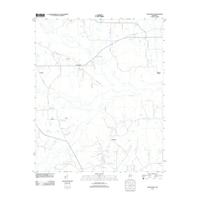
2012 Map of Cedar Bluff
USGS Topo · Published 2012About this map
Line Cr and Trim Cane Cr wind through this rural landscape north of Starkville, defining a region of low-lying wetlands and traditional agricultural settlements. The community of Cedar Bluff serves as a local hub, situated near the intersection of several established routes like George Tribble Rd. For genealogists and family researchers, the map identifies several significant locations including Cumberland Cem and Mosley Cem, as well as named residential clusters at Rocky Hill, Plairs, and Waddell. To the southeast, the terrain shifts near Mhoons Valley, while the recreational grounds of Camp Seminole are tucked away along Camp Seminole Rd. This survey documents a quiet interior portion of Mississippi before the expansion of modern infrastructure, preserving the names of local landmarks like Ash Cr and Sand Cr.
Find a feature on this map
64 named features on this map. Tap any name to fly to it.
Don’t see what you’re looking for? This feature index may not catch every label — zoom into the map to look around manually.
Map Details
Editions of this 2012 Cedar Bluff Map
This is the sole edition of this map. No revisions or reprints were ever made.
Other maps of this area

1953 · West Point
USGS Topo · 1:250,000

1958 · West Point
USGS Topo · 1:250,000

1959 · Artesia
USGS Topo · 1:62,500

1959 · West Point
USGS Topo · 1:62,500

1959 · Pheba
USGS Topo · 1:62,500

1963 · West Point
USGS Topo · 1:250,000

1965 · Starkville
USGS Topo · 1:24,000

1965 · Longview
USGS Topo · 1:24,000

1982 · West Point
USGS Topo · 1:100,000

1984 · West Point
USGS Topo · 1:250,000