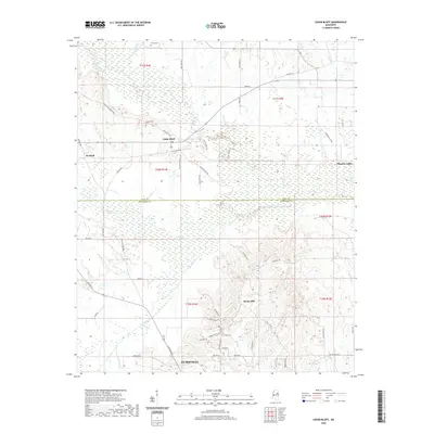
2020 Map of Cedar Bluff
USGS Topo · Published 2020About this map
Starkville anchors the southern reaches of this landscape, where the urban street grid of N Jackson St and Sudduth Rd transitions into the expansive wetlands and bottomlands of the Tibbee Creek drainage system. The boundary between Clay and Oktibbeha Counties bisects the quadrangle, separating the northern agricultural plains near Cedar Bluff from the southern hill country. Water defines the local geography, with the winding courses of Trim Cane Cr and Line Cr carving through the terrain.
Find a feature on this map
58 named features on this map. Tap any name to fly to it.
Don’t see what you’re looking for? This feature index may not catch every label — zoom into the map to look around manually.
Map Details
Editions of this 2020 Cedar Bluff Map
This is the sole edition of this map. No revisions or reprints were ever made.
Other maps of this area

1953 · West Point
USGS Topo · 1:250,000

1958 · West Point
USGS Topo · 1:250,000

1959 · Artesia
USGS Topo · 1:62,500

1959 · West Point
USGS Topo · 1:62,500

1959 · Pheba
USGS Topo · 1:62,500

1963 · West Point
USGS Topo · 1:250,000

1965 · Starkville
USGS Topo · 1:24,000

1965 · Longview
USGS Topo · 1:24,000

1982 · West Point
USGS Topo · 1:100,000

1984 · West Point
USGS Topo · 1:250,000