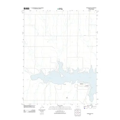
2012 Map of Cedar Bluff
USGS Topo · Published 2012About this map
The Smoky Hill River flows into the central feature of this Western Kansas landscape, the Cedar Bluff Reservoir. This artificial body of water is framed by the distinctive limestone and chalk formations of Cedar Bluff and the shadowed recesses of Cedar Gorge. The map documents the recreational footprint of the region in the early twenty-first century, specifically within the state park facilities on the southern shore. While the northern landscape is dominated by a grid of rural sections accessed by routes like Co RD 1747, the southern shoreline is developed for public access at the Cedar Bluff State Park Prickly Pear Campground and Cedar Bluff State Park Crooked Arrow Campground. The contrast between the stark, drainage-cut upland plains and the managed water resource illustrates the modern hydraulic management of the High Plains.
Find a feature on this map
7 named features on this map. Tap any name to fly to it.
Don’t see what you’re looking for? This feature index may not catch every label — zoom into the map to look around manually.
Map Details
Editions of this 2012 Cedar Bluff Map
This is the sole edition of this map. No revisions or reprints were ever made.
Other maps of this area

1893 · Ellis
USGS Topo · 1:125,000

1955 · Great Bend
USGS Topo · 1:250,000

1957 · Great Bend
USGS Topo · 1:250,000

1958 · Great Bend
USGS Topo · 1:250,000
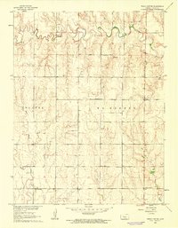
1960 · Trego Center
USGS Topo · 1:24,000
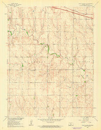
1960 · Trego Center NE
USGS Topo · 1:24,000
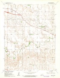
1961 · Ogallah
USGS Topo · 1:24,000
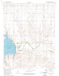
1974 · Cedar Bluff Dam
USGS Topo · 1:24,000
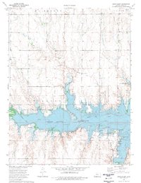
1974 · Cedar Bluff
USGS Topo · 1:24,000
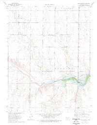
1974 · Fort Downer
USGS Topo · 1:24,000