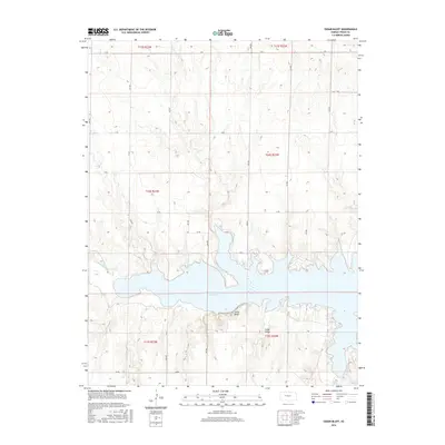
2016 Map of Cedar Bluff
USGS Topo · Published 2016About this map
Cedar Bluff Reservoir dominates this central Kansas landscape, where the waters of the Smoky Hill River have been harnessed within the high plains of Trego County. The map details the complex shoreline of the reservoir, highlighting the transition from the river channel into the broader impoundment. Landforms such as Cedar Bluff and Cedar Gorge rise above the southern banks, providing significant vertical relief in an otherwise structured agricultural grid. The surrounding terrain is organized by a meticulous network of section roads, from S Rd in the north to AA Rd in the south, illustrating the late 20th-century rural infrastructure. Small drainages like Page Cr feed into the reservoir from the south, carving through the bluffs and contributing to the local topography that defines this section of the High Plains.
Find a feature on this map
21 named features on this map. Tap any name to fly to it.
Don’t see what you’re looking for? This feature index may not catch every label — zoom into the map to look around manually.
Map Details
Editions of this 2016 Cedar Bluff Map
This is the sole edition of this map. No revisions or reprints were ever made.
Other maps of this area
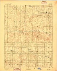
1893 · Ellis
USGS Topo · 1:125,000
1955 · Great Bend
USGS Topo · 1:250,000
1957 · Great Bend
USGS Topo · 1:250,000
1958 · Great Bend
USGS Topo · 1:250,000
1960 · Trego Center
USGS Topo · 1:24,000
1960 · Trego Center NE
USGS Topo · 1:24,000
1961 · Ogallah
USGS Topo · 1:24,000
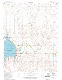
1974 · Cedar Bluff Dam
USGS Topo · 1:24,000
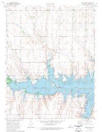
1974 · Cedar Bluff
USGS Topo · 1:24,000
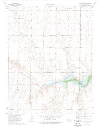
1974 · Fort Downer
USGS Topo · 1:24,000