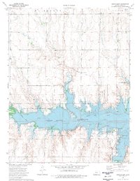
1974 Map of Cedar Bluff
USGS Topo · Published 1977About this map
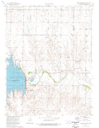
The Butterfield (Approximate Overland Location) Trail cuts across the northern landscape of Trego County, marking the historic path of western migration and commerce through the Great Plains. This mid-1970s survey highlights a region dominated by the Cedar Bluff Reservoir, an impoundment of the Smoky Hill River that fundamentally altered the local topography. Along the reservoir's southern edge, the Cedar Bluff State Park (South Shore Area) provides a hub for recreation, complete with a Scout Camp, Picnic Area, and multiple campgrounds. Several locations are designated as State Game Management Area, indicating a focus on conservation and land use. Local history enthusiasts can trace the approximate locations of several Historical Marker sites, while the presence of a Sandpit reflects the small-scale industrial activities characteristic of the area during this era.
Find a feature on this map
18 named features on this map. Tap any name to fly to it.
Don’t see what you’re looking for? This feature index may not catch every label — zoom into the map to look around manually.
Map Details
Editions of this 1974 Cedar Bluff Map
This is the sole edition of this map. No revisions or reprints were ever made.
Other maps of this area

1893 · Ellis
USGS Topo · 1:125,000

1955 · Great Bend
USGS Topo · 1:250,000

1957 · Great Bend
USGS Topo · 1:250,000

1958 · Great Bend
USGS Topo · 1:250,000
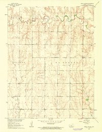
1960 · Trego Center
USGS Topo · 1:24,000
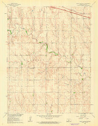
1960 · Trego Center NE
USGS Topo · 1:24,000
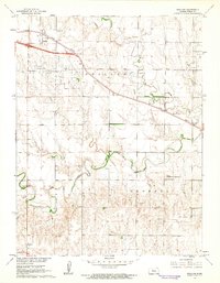
1961 · Ogallah
USGS Topo · 1:24,000
1974 · Cedar Bluff Dam
USGS Topo · 1:24,000
1974 · Fort Downer
USGS Topo · 1:24,000
1980 · Ransom
USGS Topo · 1:24,000