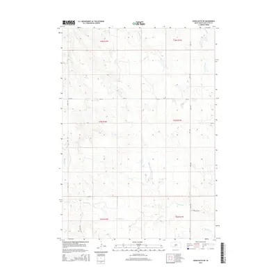
2015 Map of Cedar Butte NE
USGS Topo · Published 2015About this map
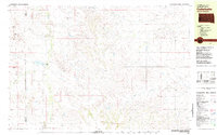
Cottonwood Cr and its many tributaries carve through the heart of this Mellette County landscape, defining the drainage patterns of the Swift Bear Segment. The map illustrates a transitional prairie environment where small watercourses like Larvie Cr and Runs-Close-Cr dictate the placement of local routes. A sparse but deliberate network of section-line roads and named ways, including Running Bird Rd and Cedar Butte Rd, connects the open range. The topographic survey provides a detailed look at the township and range divisions, documenting the spatial organization of T43N R32W and surrounding sections as they appeared in the early 21st century. This study of the land's contours reveals the subtle rise of the terrain away from the northern reaches of Yukmi Cr and the western edge of Porcupine Cr.
Find a feature on this map
18 named features on this map. Tap any name to fly to it.
Don’t see what you’re looking for? This feature index may not catch every label — zoom into the map to look around manually.
Map Details
Editions of this 2015 Cedar Butte NE Map
This is the sole edition of this map. No revisions or reprints were ever made.
Other maps of this area
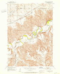
1951 · Stamford SW
USGS Topo · 1:24,000
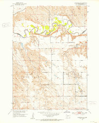
1951 · Stamford SE
USGS Topo · 1:24,000
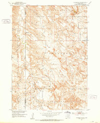
1951 · Cedar Butte NW
USGS Topo · 1:24,000
1951 · Cedar Butte NE
USGS Topo · 1:24,000
1951 · Okaton SW
USGS Topo · 1:24,000
1951 · Murdo 3 NW
USGS Topo · 1:24,000

1955 · Martin
USGS Topo · 1:250,000

1958 · Martin
USGS Topo · 1:250,000
1980 · Kadoka
USGS Topo · 1:100,000
1981 · Cedar Butte
USGS Topo · 1:25,000