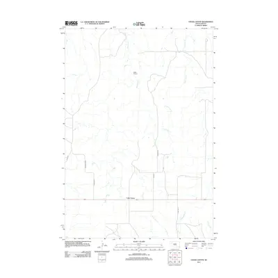
2012 Map of Cedar Canyon
USGS Topo · Published 2012About this map
Cedar Canyon defines the landscape of this remote corner of Meade County, where the plains are etched by a network of seasonal drainages. The topography is dominated by the serpentine paths of Big Cedar Cr and Little Cedar Cr, which carve through the high prairie. The settlement of Cedar Canyon serves as a small anchor in this rural expanse, connected to the wider region by Highway 212 and a grid of section roads like Stomprud Rd. To the south, the headwaters of the Pine Creek system begin to take shape, including W Br Pine Cr and Middle Br Pine Cr. This map captures the intersection of ranching infrastructure and the natural hydraulic patterns of the South Dakota badlands, showing how early 21st-century road networks like Cedar Canyon Rd follow the dictates of the winding canyon terrain.
Find a feature on this map
15 named features on this map. Tap any name to fly to it.
Don’t see what you’re looking for? This feature index may not catch every label — zoom into the map to look around manually.
Map Details
Editions of this 2012 Cedar Canyon Map
This is the sole edition of this map. No revisions or reprints were ever made.
Other maps of this area

1951 · Cedar Canyon
USGS Topo · 1:24,000

1951 · Maurine
USGS Topo · 1:24,000

1951 · Imogene
USGS Topo · 1:24,000

1951 · Bixby
USGS Topo · 1:24,000

1953 · Rapid City
USGS Topo · 1:250,000

1954 · Lemmon
USGS Topo · 1:250,000

1957 · Lemmon
USGS Topo · 1:250,000

1957 · Rapid City
USGS Topo · 1:250,000

1973 · Frozen Man Creek
USGS Topo · 1:24,000

1980 · Beverly Creek
USGS Topo · 1:25,000