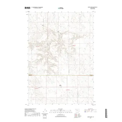
2017 Map of Cedar Canyon
USGS Topo · Published 2017About this map
Ben Ash Cem stands as a quiet landmark near the southern boundary of this high plains landscape, situated where the terrain transitions toward the Cheyenne River basin. The map captures the dividing line between Perkins and Meade counties, a region defined by complex drainage networks and deep-cut erosional features. The namesake Cedar Canyon and Dillon Draw dominate the northern half of the sheet, feeding into northern watercourses like Big Cedar Cr and Little Cedar Cr. Further south, the landscape is etched by the various branches of the Pine Creek system, including W Br Pine Cr and Middle Br Pine Cr. Rural connectivity is provided by gravel corridors such as Cedar Canyon Rd and Stoneville Rd, which follow the natural contours of the rangeland and provide access to the isolated homesteads and ranching allotments characteristic of this part of western South Dakota.
Find a feature on this map
18 named features on this map. Tap any name to fly to it.
Don’t see what you’re looking for? This feature index may not catch every label — zoom into the map to look around manually.
Map Details
Editions of this 2017 Cedar Canyon Map
This is the sole edition of this map. No revisions or reprints were ever made.
Other maps of this area
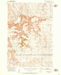
1951 · Cedar Canyon
USGS Topo · 1:24,000
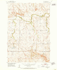
1951 · Maurine
USGS Topo · 1:24,000
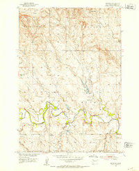
1951 · Imogene
USGS Topo · 1:24,000
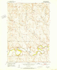
1951 · Bixby
USGS Topo · 1:24,000
1953 · Rapid City
USGS Topo · 1:250,000
1954 · Lemmon
USGS Topo · 1:250,000
1957 · Lemmon
USGS Topo · 1:250,000
1957 · Rapid City
USGS Topo · 1:250,000
1973 · Frozen Man Creek
USGS Topo · 1:24,000
1980 · Beverly Creek
USGS Topo · 1:25,000