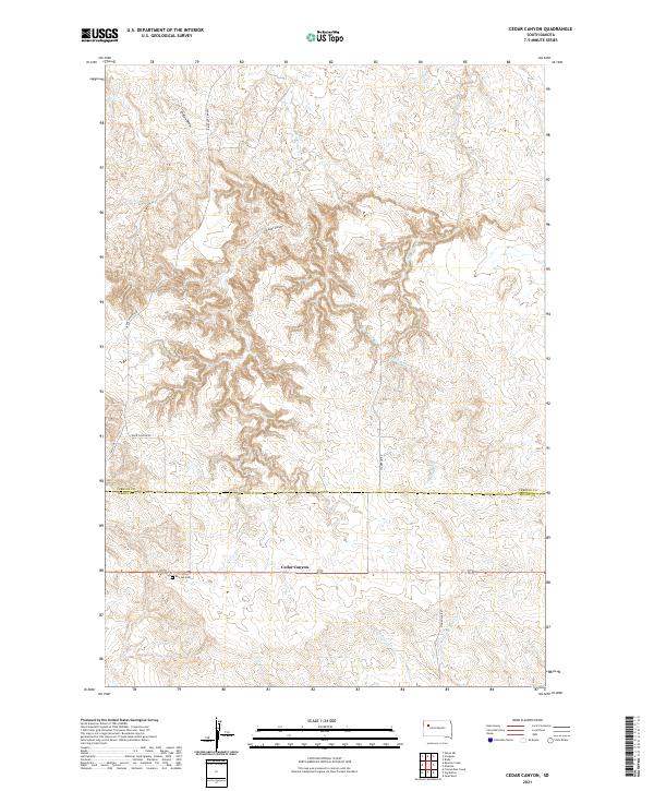
2021 Map of Cedar Canyon
USGS Topo · Published 2021About this map
Cedar Canyon and its complex network of seasonal drainages define the high plains of western South Dakota, straddling the border of Perkins Co and Meade Co. This landscape is primarily shaped by the headwaters of several prominent creeks, including Big Cedar Cr, Little Cedar Cr, and the three distinct branches of Pine Creek—W Br Pine Cr, Middle Br Pine Cr, and E Br Pine Cr. Human settlement is sparse and dictated by the terrain, with travel limited to rural routes like Cedar Canyon Rd and Stoneville Rd.
Find a feature on this map
18 named features on this map. Tap any name to fly to it.
Don’t see what you’re looking for? This feature index may not catch every label — zoom into the map to look around manually.
Map Details
Editions of this 2021 Cedar Canyon Map
This is the sole edition of this map. No revisions or reprints were ever made.
Other maps of this area

1951 · Cedar Canyon
USGS Topo · 1:24,000

1951 · Maurine
USGS Topo · 1:24,000

1951 · Imogene
USGS Topo · 1:24,000

1951 · Bixby
USGS Topo · 1:24,000

1953 · Rapid City
USGS Topo · 1:250,000

1954 · Lemmon
USGS Topo · 1:250,000

1957 · Lemmon
USGS Topo · 1:250,000

1957 · Rapid City
USGS Topo · 1:250,000

1973 · Frozen Man Creek
USGS Topo · 1:24,000

1980 · Beverly Creek
USGS Topo · 1:25,000