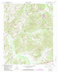
1966 Map of Cedar Creek
USGS Topo · Published 1984About this map
The Middle Fork Forked Deer River and its numerous tributaries, such as Griffin Creek and Susan Branch, define the rolling West Tennessee landscape of this 1966 survey. The small community of Cedar Grove serves as a central point for the surrounding rural homesteads and agricultural tracts. Family and community history is anchored in several country churches and burial grounds, including Pleasant Hill Ch and the Wood Hill Cem.
Find a feature on this map
38 named features on this map. Tap any name to fly to it.
Don’t see what you’re looking for? This feature index may not catch every label — zoom into the map to look around manually.
Map Details
Editions of this 1966 Cedar Creek Map
This is the sole edition of this map. No revisions or reprints were ever made.
Other maps of this area

1883 · Morristown
USGS Topo · 1:125,000

1892 · Greeneville
USGS Topo · 1:125,000

1893 · Mt Guyot
USGS Topo · 1:125,000

1893 · Morristown
USGS Topo · 1:125,000

1894 · Asheville
USGS Topo · 1:125,000

1895 · Morristown
USGS Topo · 1:125,000

1896 · Greeneville
USGS Topo · 1:125,000

1901 · Asheville
USGS Topo · 1:125,000

1904 · Greeneville
USGS Topo · 1:125,000

1912 · Mt Guyot
USGS Topo · 1:125,000