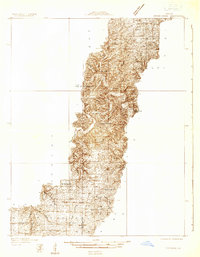
1932 Map of Cedar Grove
USGS Topo · Published 1932About this map
Current River meanders through the heart of the Ozarks in this 1932 topographic survey, which documents a landscape defined by isolated homesteads and local school districts before the consolidation of rural communities. The map captures the deeply dissected topography of the Current River Valley as it passes through Jackson township, with clear demarcations between Dent, Texas, and Reynolds counties.
Find a feature on this map
22 named features on this map. Tap any name to fly to it.
Don’t see what you’re looking for? This feature index may not catch every label — zoom into the map to look around manually.
Map Details
Editions of this 1932 Cedar Grove Map
This is the sole edition of this map. No revisions or reprints were ever made.
Other maps of this area
1915 · Eminence
USGS Topo · 1:62,500
1917 · Eminence
USGS Topo · 1:62,500
1937 · Edgar Springs
USGS Topo · 1:48,000
1941 · Salem
USGS Topo · 1:62,500
1941 · Stone Hill
USGS Topo · 1:62,500

1945 · Salem
USGS Topo · 1:62,500
1945 · Edgar Springs
USGS Topo · 1:62,500
1945 · Stone Hill
USGS Topo · 1:62,500
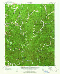
1945 · Round Spring
USGS Topo · 1:62,500
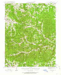
1945 · Clear Springs
USGS Topo · 1:62,500