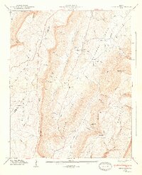
1947 Map of Cedar Grove
USGS Topo · Published 1947About this map
McLemore Cove sits as a broad agricultural valley between the towering heights of Lookout Mountain and Pigeon Mountain in Northwest Georgia. This post-war survey illustrates a landscape defined by its deep gaps and gulfs, where small settlements like Cedar Grove and Masseyville anchor the local community. The topography is notably marked by the Tennessee Valley Divide, a natural boundary that separates the drainage of the West Fork Little River from the headwaters of Chickamauga Creek West Branch.
Find a feature on this map
69 named features on this map. Tap any name to fly to it.
Don’t see what you’re looking for? This feature index may not catch every label — zoom into the map to look around manually.
Map Details
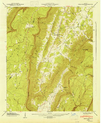
Editions of this 1947 Cedar Grove Map
2 editions found
Other maps of this area

1886 · Ringgold
USGS Topo · 1:125,000

1886 · Stevenson
USGS Topo · 1:125,000

1892 · Ringgold
USGS Topo · 1:125,000

1892 · Stevenson
USGS Topo · 1:125,000

1895 · Stevenson
USGS Topo · 1:125,000

1935 · Durham
USGS Topo · 1:24,000

1936 · Trenton
USGS Topo · 1:24,000

1936 · Kensington
USGS Topo · 1:24,000

1936 · Sulphur Springs
USGS Topo · 1:24,000

1936 · Estelle
USGS Topo · 1:24,000