2025 Map of Cedar Key
USGS Topo · Published 2025About this map
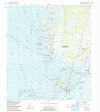
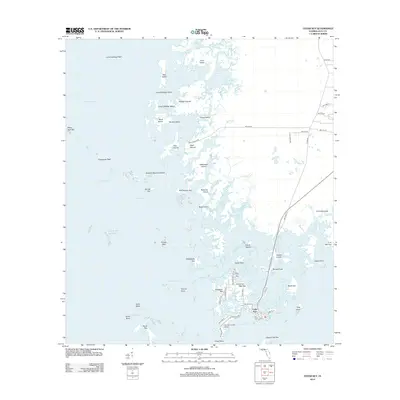
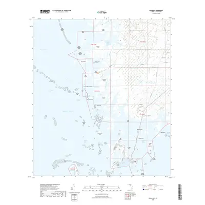
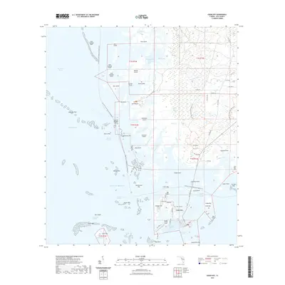
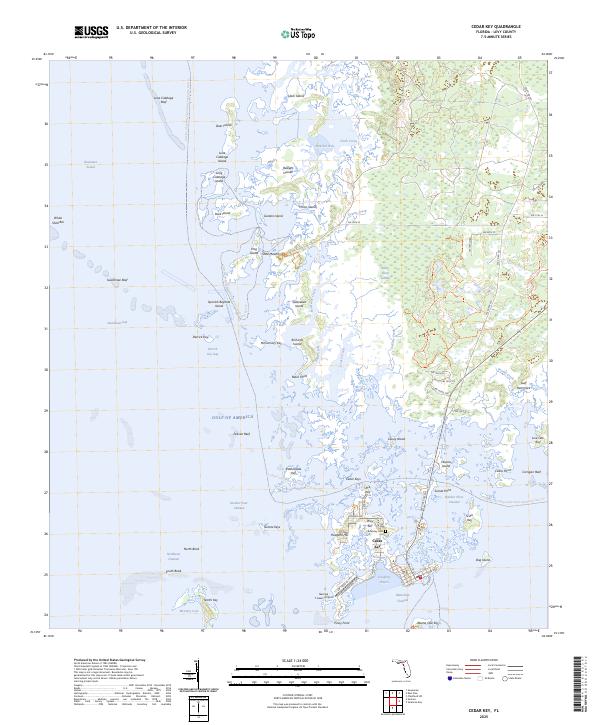
The archipelago of the Cedar Keys dominates this coastal survey, centered on the historic island community of Cedar Key. Situated on Way Key, the town is the focal point of a complex network of marshes, creeks, and islands where the Gulf of America meets the Florida coastline. The map reveals the relationship between the built environment and the shifting tides, showing infrastructure like the George T Lewis Airport and SW State Rd 24 alongside natural landmarks such as Hodgson Hill.
Find a feature on this map
87 named features on this map. Tap any name to fly to it.
Don’t see what you’re looking for? This feature index may not catch every label — zoom into the map to look around manually.
Map Details
Editions of this 2025 Cedar Key Map
This is the sole edition of this map. No revisions or reprints were ever made.
Historical Maps of Cedar Key Through Time
7 maps found