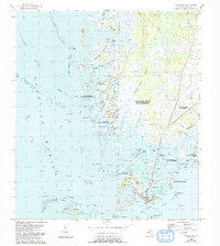
1955 Map of Cedar Key
USGS Topo · Published 1993About this map
The coastal island city of Cedar Key serves as the focal point of this survey, which captures the intricate salt marshes and archipelagoes of the Florida Gulf Coast. Derived from mid-century surveys with updates through 1993, the map illustrates a landscape where land and water are inextricably linked, showing the complex navigation of Number Four Channel and the Main Ship Channel. Local landmarks like Hodgson Hill and the Cem near Way Key provide specific points of interest for genealogists tracing family ties to this seafaring community.
Find a feature on this map
62 named features on this map. Tap any name to fly to it.
Don’t see what you’re looking for? This feature index may not catch every label — zoom into the map to look around manually.
Map Details
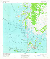
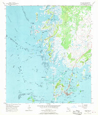
Editions of this 1955 Cedar Key Map
4 editions found
Other maps of this area

1954 · Suwannee
USGS Topo · 1:24,000

1954 · Chiefland SW
USGS Topo · 1:24,000

1954 · East Pass
USGS Topo · 1:24,000

1954 · Gainesville
USGS Topo · 1:250,000

1955 · Seahorse Key
USGS Topo · 1:24,000

1955 · Cedar Key
USGS Topo · 1:24,000

1955 · Sumner
USGS Topo · 1:24,000

1958 · Gainesville
USGS Topo · 1:250,000

1959 · Gainesville
USGS Topo · 1:250,000
1978 · Ocala
USGS Topo · 1:100,000