
1955 Map of Cedar Key
USGS Topo · Published 1956About this map
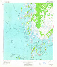
Cedar Key serves as the focal point of this coastal survey, situated within a complex network of marshes, tidal creeks, and mangrove islands along the Gulf coast. The map illustrates the town's orientation toward the sea, featuring a Signal Sta, a Landing Field, and numerous daybeacons marking navigation through the Main Ship Channel and Northwest Channel. To the north, the terrain transitions into the dense vegetation of Gulf Hammock and the archaeological landmark at Shell Mound. The surrounding waters are dotted with numerous islands, including Atsena Otie Key and North Key, which comprise the Cedar Keys National Wildlife Refuge. This mid-century view documents the region's geography before significant modern development, showing the intricate relationship between the settlement and its surrounding maritime environment, from the Lone Cabbage Reef to the sheltered Daughtry Bayou.
Find a feature on this map
69 named features on this map. Tap any name to fly to it.
Don’t see what you’re looking for? This feature index may not catch every label — zoom into the map to look around manually.
Map Details
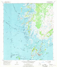
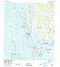
Editions of this 1955 Cedar Key Map
4 editions found
Other maps of this area

1954 · Suwannee
USGS Topo · 1:24,000

1954 · Chiefland SW
USGS Topo · 1:24,000

1954 · East Pass
USGS Topo · 1:24,000

1954 · Gainesville
USGS Topo · 1:250,000

1955 · Seahorse Key
USGS Topo · 1:24,000

1955 · Sumner
USGS Topo · 1:24,000

1958 · Gainesville
USGS Topo · 1:250,000

1959 · Gainesville
USGS Topo · 1:250,000
1978 · Ocala
USGS Topo · 1:100,000

1978 · Cedar Keys
USGS Topo · 1:100,000