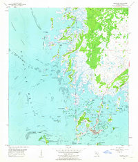
1955 Map of Cedar Key
USGS Topo · Published 1963About this map
Cedar Key serves as the focal point of this mid-century coastal survey, situated primarily on Way Key amidst a complex archipelago. The landscape is defined by the transition from the Gulf of Mexico to the intricate marshes of Suwannee Sound. Maritime navigation is central to the area's layout, with the Main Ship Channel and various numbered passages like Number Four Channel providing access through the expansive Lone Cabbage Reef and numerous tidal keys.
Find a feature on this map
63 named features on this map. Tap any name to fly to it.
Don’t see what you’re looking for? This feature index may not catch every label — zoom into the map to look around manually.
Map Details
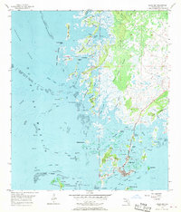
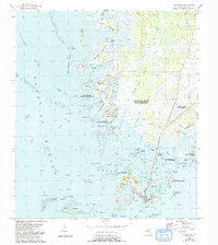
Editions of this 1955 Cedar Key Map
4 editions found
Other maps of this area

1954 · Suwannee
USGS Topo · 1:24,000

1954 · Chiefland SW
USGS Topo · 1:24,000

1954 · East Pass
USGS Topo · 1:24,000

1954 · Gainesville
USGS Topo · 1:250,000

1955 · Seahorse Key
USGS Topo · 1:24,000

1955 · Cedar Key
USGS Topo · 1:24,000

1955 · Sumner
USGS Topo · 1:24,000

1958 · Gainesville
USGS Topo · 1:250,000

1959 · Gainesville
USGS Topo · 1:250,000
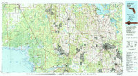
1978 · Ocala
USGS Topo · 1:100,000