
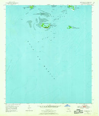
1955 Map of Seahorse Key
USGS Topo · Published 1956About this map
Cedar Keys National Wildlife Refuge encompasses a scattered archipelago in the Gulf of Mexico, where shallow banks and tidal channels define the coastal geography. During the mid-1950s, this area maintained a quiet, maritime character centered on isolated islands like Seahorse Key and Atsena Otie Key. The presence of an Lighthouse (Abandoned) on Seahorse Key points to the shifting navigational needs of the era, as larger commercial vessels were increasingly funneled through the Main Ship Channel rather than the old local passages.
Find a feature on this map
19 named features on this map. Tap any name to fly to it.
Don’t see what you’re looking for? This feature index may not catch every label — zoom into the map to look around manually.
Map Details
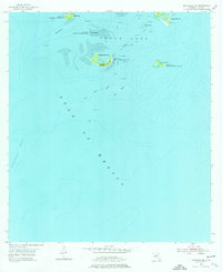
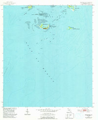
Editions of this 1955 Seahorse Key Map
4 editions found
Other maps of this area

1954 · Gainesville
USGS Topo · 1:250,000

1955 · Cedar Key
USGS Topo · 1:24,000

1955 · Sumner
USGS Topo · 1:24,000

1955 · Plant City
USGS Topo · 1:250,000

1958 · Plant City
USGS Topo · 1:250,000

1958 · Gainesville
USGS Topo · 1:250,000

1959 · Plant City
USGS Topo · 1:250,000

1959 · Gainesville
USGS Topo · 1:250,000

1964 · Plant City
USGS Topo · 1:250,000
1978 · Ocala
USGS Topo · 1:100,000