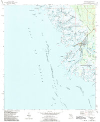
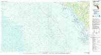
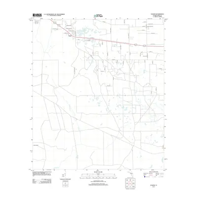
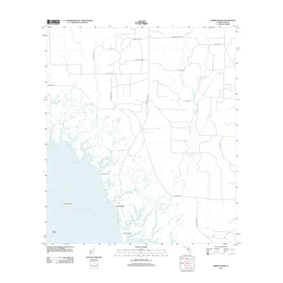
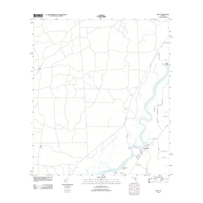
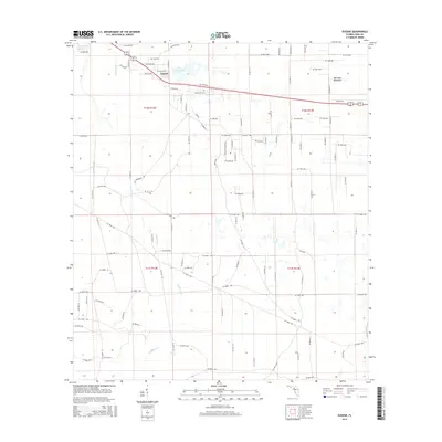
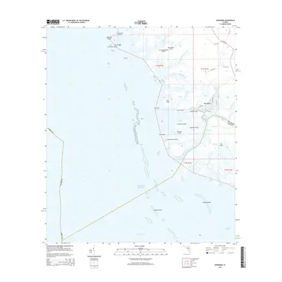
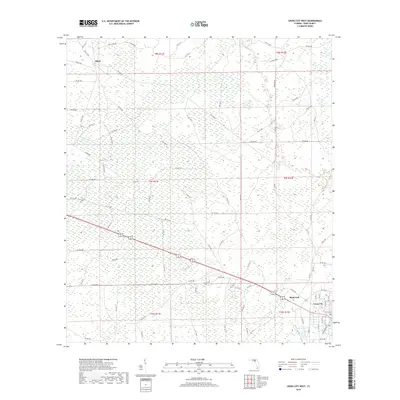
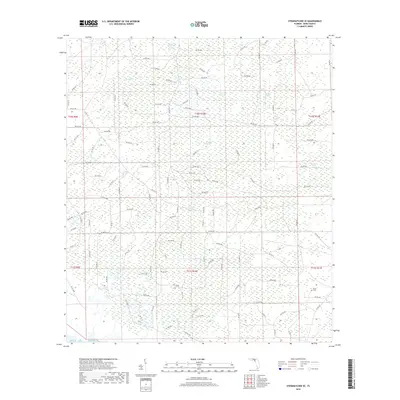
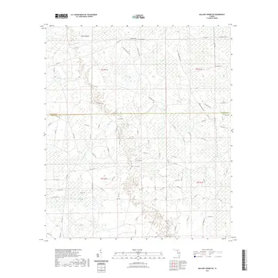
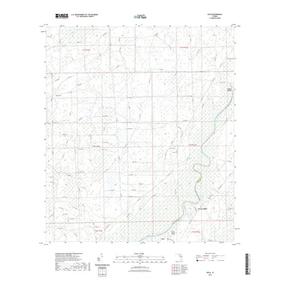
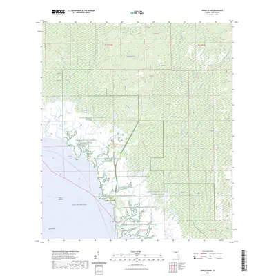
1954 Map of Suwannee
USGS Topo · Published 1956About this map
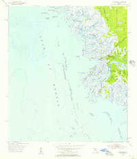
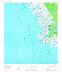
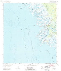
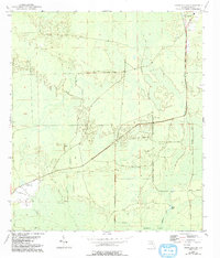
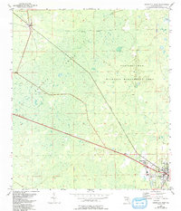
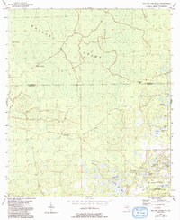
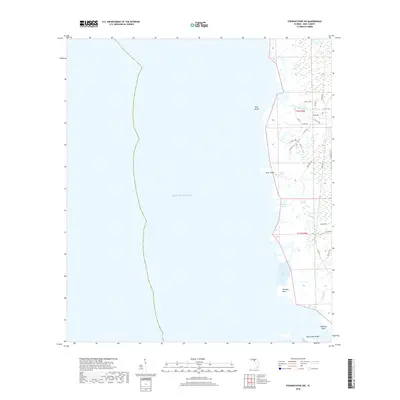
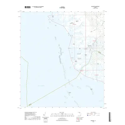
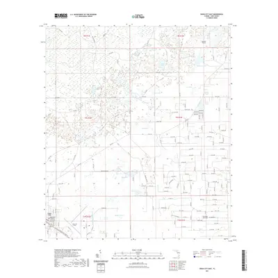
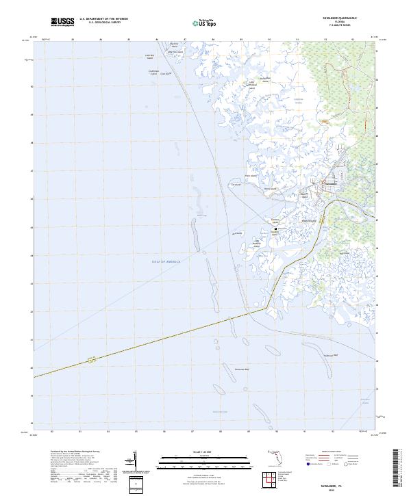
The Suwannee River splits into a complex network of passes and tidal creeks as it meets the Gulf of Mexico, defining a landscape of salt marshes and low-lying hammocks in the mid-1950s. The settlement of Suwannee sits at the heart of this delta, positioned near the confluence of Demory Creek and the main river channel. The area's history of transport is visible in the Old Railroad Grade cutting through the California Swamp, a remnant of the lumber industry that once drove the local economy. Coastal hazards and maritime navigation are marked by a Sunken Wreck and the Boiler near Axe Island, while the offshore waters are characterized by the expansive Suwannee Reef and Halfmoon Reef. This map documents a labyrinth of named islands like Bradford Island and Hog Island, separated by traditional waterways such as Wadley Pass and Alligator Pass.
Find a feature on this map
48 named features on this map. Tap any name to fly to it.
Don’t see what you’re looking for? This feature index may not catch every label — zoom into the map to look around manually.
Map Details
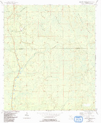
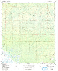
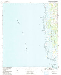
Editions of this 1954 Suwannee Map
4 editions found
Historical Maps of Suwannee Through Time
78 maps found
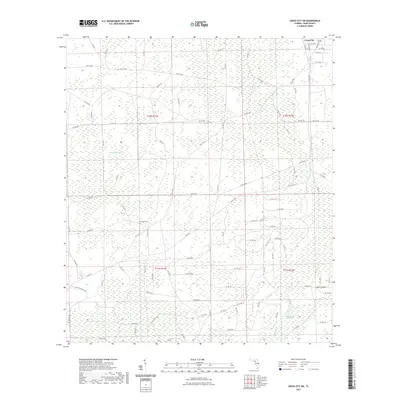
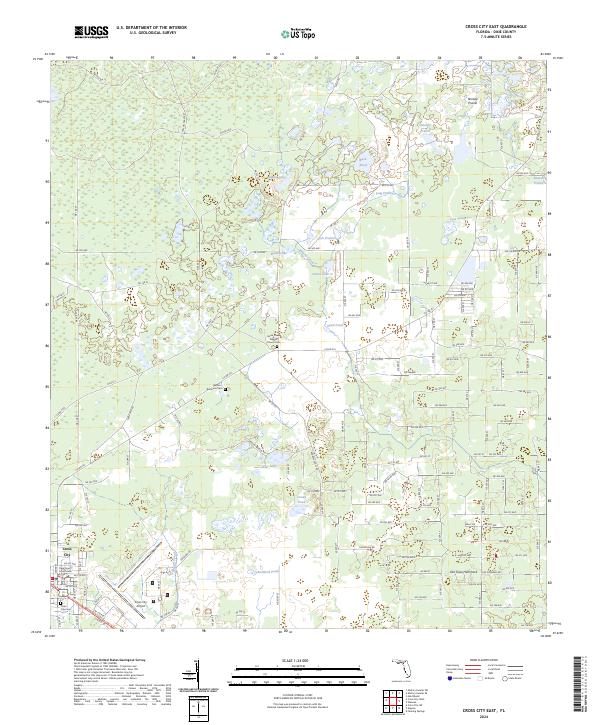
1954 Cross City East
Dixie County, FL
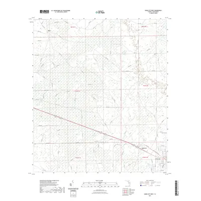
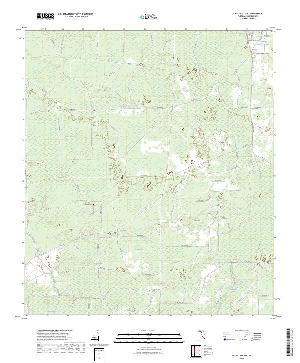
1954 Cross City SW
Dixie County, FL
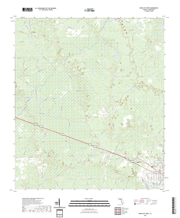
1954 Cross City West
Dixie County, FL
1954 Eugene
Dixie County, FL
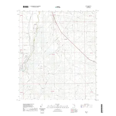
1954 Jena
Dixie County, FL
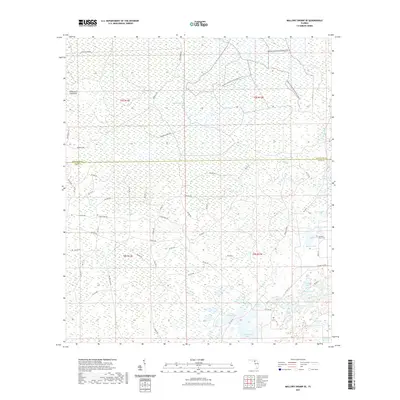
1954 Mallory Swamp SE
Dixie County, FL
1954 Mallory Swamp SW
Dixie County, FL
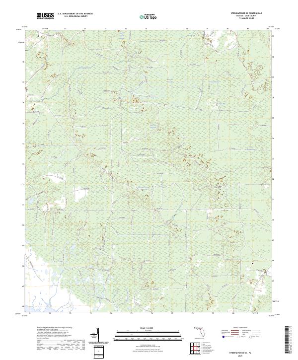
1954 Steinhatchee SE
Dixie County, FL
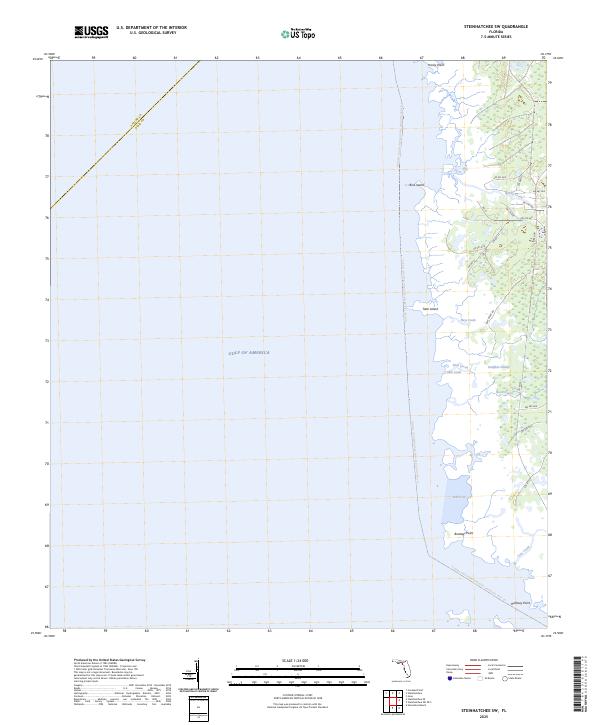
1954 Steinhatchee SW
Dixie County, FL
1954 Suwannee
Dixie County, FL
1954 Vista
Dixie County, FL
1955 Shired Island
Dixie County, FL
1956 Mallory Swamp SE
Dixie County, FL
1978 Cedar Keys
Dixie County, FL
2012 Cross City East
Dixie County, FL
2012 Cross City SW
Dixie County, FL
2012 Cross City West
Dixie County, FL
2012 Eugene
Dixie County, FL
2012 Jena
Dixie County, FL
2012 Mallory Swamp SE
Dixie County, FL
2012 Mallory Swamp SW
Dixie County, FL
2012 Shired Island
Dixie County, FL
2012 Steinhatchee SE
Dixie County, FL
2012 Steinhatchee SW
Dixie County, FL
2012 Suwannee
Dixie County, FL
2012 Vista
Dixie County, FL
2015 Cross City East
Dixie County, FL
2015 Cross City SW
Dixie County, FL
2015 Cross City West
Dixie County, FL
2015 Eugene
Dixie County, FL

2015 Jena
Dixie County, FL
2015 Mallory Swamp SE
Dixie County, FL
2015 Mallory Swamp SW
Dixie County, FL
2015 Shired Island
Dixie County, FL
2015 Steinhatchee SE
Dixie County, FL

2015 Steinhatchee SW
Dixie County, FL
2015 Suwannee
Dixie County, FL

2015 Vista
Dixie County, FL
2018 Cross City East
Dixie County, FL
2018 Cross City SW
Dixie County, FL
2018 Cross City West
Dixie County, FL
2018 Eugene
Dixie County, FL
2018 Jena
Dixie County, FL

2018 Mallory Swamp SE
Dixie County, FL
2018 Mallory Swamp SW
Dixie County, FL

2018 Shired Island
Dixie County, FL
2018 Steinhatchee SE
Dixie County, FL
2018 Steinhatchee SW
Dixie County, FL
2018 Suwannee
Dixie County, FL

2018 Vista
Dixie County, FL
2021 Cross City East
Dixie County, FL
2021 Cross City SW
Dixie County, FL
2021 Cross City West
Dixie County, FL

2021 Eugene
Dixie County, FL
2021 Jena
Dixie County, FL
2021 Mallory Swamp SE
Dixie County, FL
2021 Mallory Swamp SW
Dixie County, FL
2021 Shired Island
Dixie County, FL

2021 Steinhatchee SE
Dixie County, FL
2021 Steinhatchee SW
Dixie County, FL
2021 Suwannee
Dixie County, FL
2021 Vista
Dixie County, FL
2024 Cross City East
Dixie County, FL
2024 Cross City SW
Dixie County, FL
2024 Cross City West
Dixie County, FL
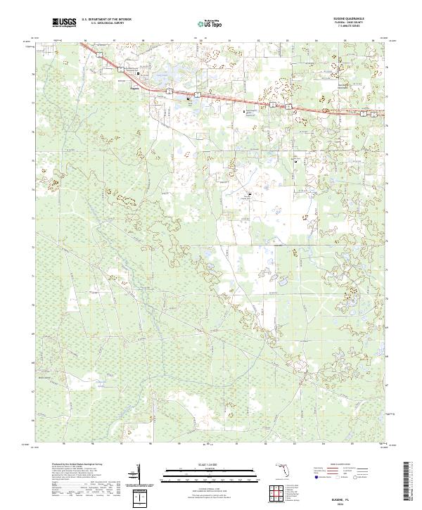
2024 Eugene
Dixie County, FL
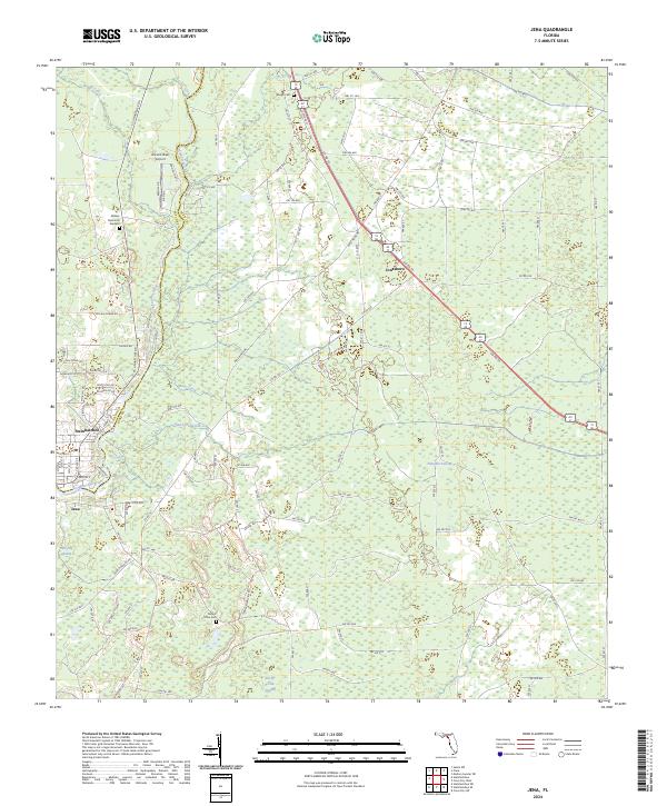
2024 Jena
Dixie County, FL
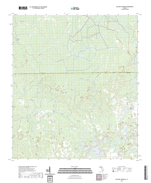
2024 Mallory Swamp SE
Dixie County, FL
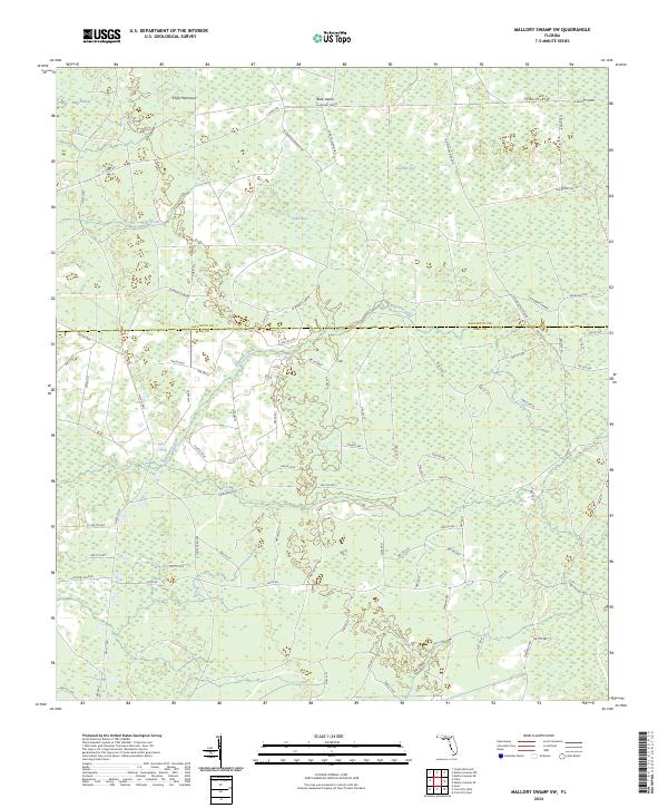
2024 Mallory Swamp SW
Dixie County, FL
2024 Shired Island
Dixie County, FL

2024 Steinhatchee SE
Dixie County, FL
2024 Steinhatchee SW
Dixie County, FL

2024 Suwannee
Dixie County, FL
2024 Vista
Dixie County, FL
2025 Shired Island
Dixie County, FL
2025 Steinhatchee SE
Dixie County, FL
2025 Steinhatchee SW
Dixie County, FL
2025 Suwannee
Dixie County, FL