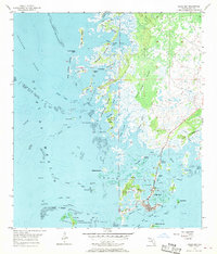
1955 Map of Cedar Key
USGS Topo · Published 1969About this map
Cedar Key serves as the focal point of this coastal survey, appearing as a cluster of development centered on Way Key amidst the intricate marshlands and islands of Levy County. The landscape is defined by its maritime geography, where the Gulf of Mexico meets a labyrinth of tidal creeks and oyster bars like Lone Cabbage Reef. Cultural landmarks include the Landing Field and Hodgson Hill, while the surrounding waters are navigated via the Main Ship Channel and North Bank. The map highlights the early conservation efforts of the Cedar Keys National Wildlife Refuge, protecting significant landforms such as Atsena Otie Key and North Key. Further inland, the vast Swamp and Gulf Hammock illustrate the dense, water-logged terrain that constrained early settlement to the higher ground of the keys and the vicinity of Shell Mound.
Find a feature on this map
62 named features on this map. Tap any name to fly to it.
Don’t see what you’re looking for? This feature index may not catch every label — zoom into the map to look around manually.
Map Details
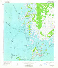
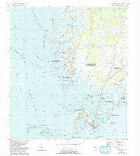
Editions of this 1955 Cedar Key Map
4 editions found
Other maps of this area

1954 · Suwannee
USGS Topo · 1:24,000

1954 · Chiefland SW
USGS Topo · 1:24,000

1954 · East Pass
USGS Topo · 1:24,000

1954 · Gainesville
USGS Topo · 1:250,000

1955 · Seahorse Key
USGS Topo · 1:24,000

1955 · Cedar Key
USGS Topo · 1:24,000

1955 · Sumner
USGS Topo · 1:24,000

1958 · Gainesville
USGS Topo · 1:250,000

1959 · Gainesville
USGS Topo · 1:250,000
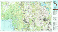
1978 · Ocala
USGS Topo · 1:100,000