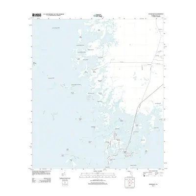
2012 Map of Cedar Key
USGS Topo · Published 2012About this map
The archipelago of the Cedar Keys dominates this coastal survey, where the town of Cedar Key occupies the intricate shoreline of Way Key. This modern era mapping reveals the complex relationship between the mainland and the Gulf, connected by a narrow transportation corridor leading into the heart of the settlement. The landscape is a mosaic of maritime landmarks, including the prominent Shell Mound on the northern coast and the George T Lewis Airport situated on the southern flats. A labyrinth of tidal channels such as Number Four Channel and Northwest Channel weave between named landforms like Rattlesnake Key and Derrick Key, illustrating a topography shaped by the sea. For those tracing the evolution of coastal Florida, this sheet captures the established street grid of the town alongside the enduring geographic features of the Suwannee Sound and its protective reefs.
Find a feature on this map
83 named features on this map. Tap any name to fly to it.
Don’t see what you’re looking for? This feature index may not catch every label — zoom into the map to look around manually.
Map Details
Editions of this 2012 Cedar Key Map
This is the sole edition of this map. No revisions or reprints were ever made.
Other maps of this area
1954 · Suwannee
USGS Topo · 1:24,000
1954 · Chiefland SW
USGS Topo · 1:24,000
1954 · East Pass
USGS Topo · 1:24,000
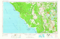
1954 · Gainesville
USGS Topo · 1:250,000
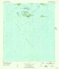
1955 · Seahorse Key
USGS Topo · 1:24,000
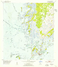
1955 · Cedar Key
USGS Topo · 1:24,000
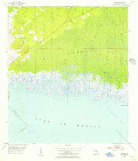
1955 · Sumner
USGS Topo · 1:24,000
1958 · Gainesville
USGS Topo · 1:250,000
1959 · Gainesville
USGS Topo · 1:250,000
1978 · Ocala
USGS Topo · 1:100,000