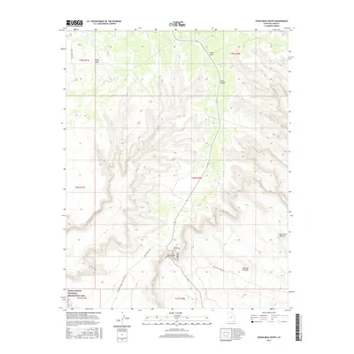
2017 Map of Cedar Mesa South
USGS Topo · Published 2017About this map
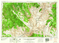
Valley of the Gods defines the southern reach of this San Juan County landscape, where the high desert floor meets the dramatic verticality of the Cedar Mesa plateau. The mapping shows the intricate switchbacks of the Moki Dugway, a critical piece of road engineering that climbs the sheer escarpment to provide access to the mesa top. This elevated terrain includes landmarks like Polly Mesa and the deep incisions of Johns Canyon, while the southwest corner of the sheet transitions into the protected lands of the Glen Canyon National Recreation Area. The network of travel here is dominated by unpaved routes such as Muley Point Road and the Valley of the Gods Rd, tracing the paths of early travelers and ranchers through the red rock formations. Notable curiosities, such as the Lady in the Bathtub rock formation, are precisely located among the complex contours of the drainages leading to W Fork Lime Cr.
Find a feature on this map
18 named features on this map. Tap any name to fly to it.
Don’t see what you’re looking for? This feature index may not catch every label — zoom into the map to look around manually.
Map Details
Editions of this 2017 Cedar Mesa South Map
This is the sole edition of this map. No revisions or reprints were ever made.
Other maps of this area

1886 · Henry Mountains
USGS Topo · 1:250,000
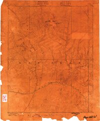
1886 · Abajo
USGS Topo · 1:250,000
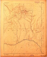
1892 · Abajo
USGS Topo · 1:250,000

1892 · Henry Mountains
USGS Topo · 1:250,000
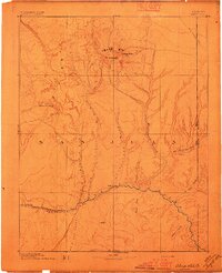
1893 · Abajo
USGS Topo · 1:250,000
1956 · Escalante
USGS Topo · 1:250,000
1956 · Cortez
USGS Topo · 1:250,000
1958 · Cortez
USGS Topo · 1:250,000
1959 · Cortez
USGS Topo · 1:250,000
1960 · Escalante
USGS Topo · 1:250,000