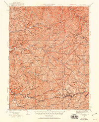
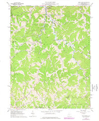
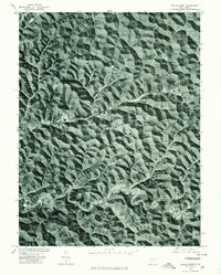
1961 Map of Cedar Point
USGS Topo · Published 1977About this map
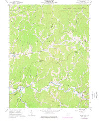
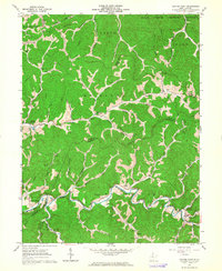
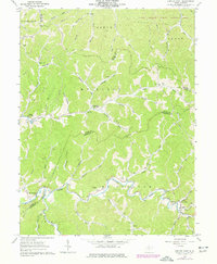
McElroy Creek winds through this section of Doddridge and Tyler Counties, defining a landscape where narrow valleys dictate the pattern of settlement and travel. Small communities such as Center Point and Braden (Lima PO) are connected by winding roads that track the water, including the Pike following the Talkington Fork. The area is heavily marked by the region's energy economy, with numerous Gas Wells, a Compressor Sta, and a Pumping Sta situated among the ridges. Genealogists and local historians will find significant detail in the placement of family and community landmarks, such as the Underwood Cem and Parks Cem, alongside rural spiritual centers like Bethel Chapel and Walnut Fork Ch. The northern portion transitions into the Lewis Wetzel Public Hunting Area, while a Covered Bridge near Center Point stands as a notable architectural landmark of the era.
Find a feature on this map
60 named features on this map. Tap any name to fly to it.
Don’t see what you’re looking for? This feature index may not catch every label — zoom into the map to look around manually.
Map Details
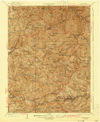
Editions of this 1961 Cedar Point Map
3 editions found
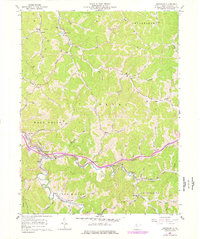
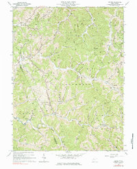
Historical Maps of Roberts Through Time
12 maps found
1905 Centerpoint
Doddridge County, WV
1924 Centerpoint
Doddridge County, WV
1925 Centerpoint
Doddridge County, WV
1961 Cedar Point
Doddridge County, WV
1961 Smithburg
Doddridge County, WV
1964 Oxford
Doddridge County, WV
1965 New Milton
Doddridge County, WV
1976 Center Point
Doddridge County, WV
2023 Center Point
Doddridge County, WV
2023 New Milton
Doddridge County, WV
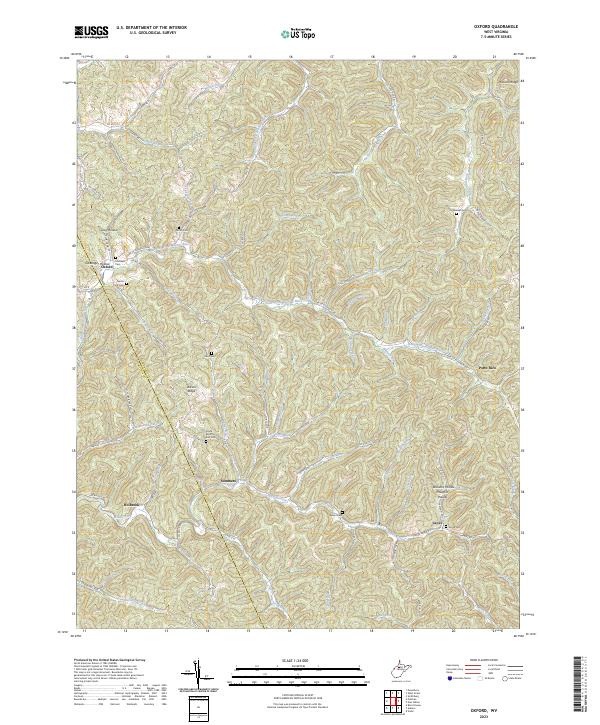
2023 Oxford
Doddridge County, WV
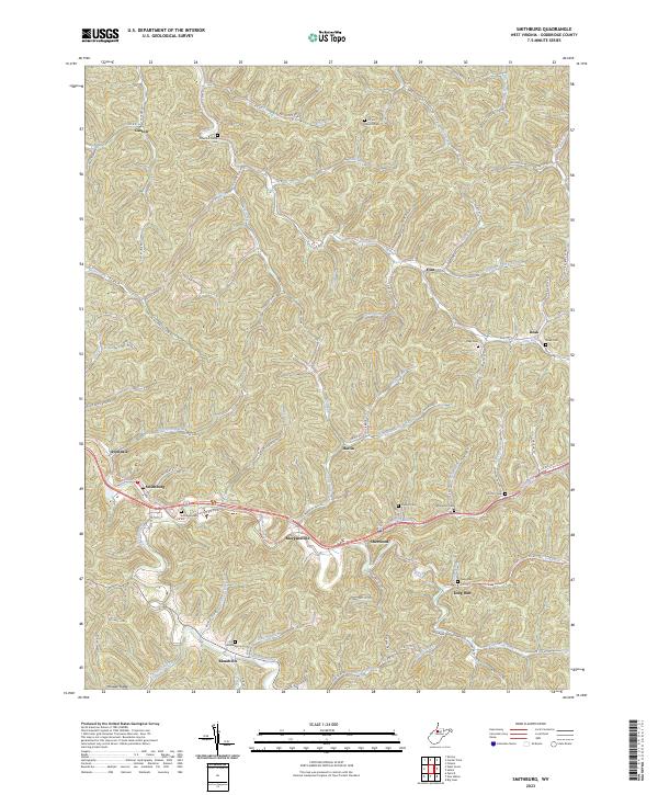
2023 Smithburg
Doddridge County, WV