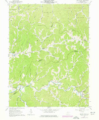
1961 Map of Center Point
USGS Topo · Published 1977About this map
McElroy Creek winds through a landscape defined by sharp ridges and deep hollows where the borders of Tyler, Wetzel, and Doddridge counties converge. In the early 1960s, this area remained a patchwork of small agricultural settlements and emerging energy infrastructure, evidenced by the numerous gas wells and pipelines crossing the hills. The community of Center Point serves as a local hub, featuring a Covered Bridge and the nearby Pleasants Ch. The map reveals a high density of named watercourses, such as Fluharty Fork, Talkington Fork, and Indian Creek, which dictated the placement of early roads and homes. In the northern reaches, the Lewis Wetzel Public Hunting Area occupies the wooded uplands of the Grant and Green districts. Local history and genealogy are well-represented by family-named landmarks like Tennant Cem and Underwood Cem, alongside small outposts like Stringtown and Braden.
Find a feature on this map
60 named features on this map. Tap any name to fly to it.
Don’t see what you’re looking for? This feature index may not catch every label — zoom into the map to look around manually.
Map Details
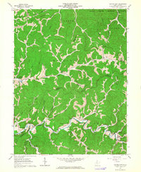
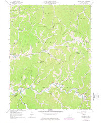
Editions of this 1961 Center Point Map
3 editions found
Other maps of this area

1903 · Littleton
USGS Topo · 1:62,500

1905 · Centerpoint
USGS Topo · 1:62,500

1905 · West Union
USGS Topo · 1:62,500

1905 · Littleton
USGS Topo · 1:62,500

1906 · New Martinsville
USGS Topo · 1:62,500

1924 · New Martinsville
USGS Topo · 1:62,500

1924 · Centerpoint
USGS Topo · 1:62,500

1924 · Littleton
USGS Topo · 1:62,500

1924 · West Union
USGS Topo · 1:62,500

1925 · Centerpoint
USGS Topo · 1:62,500