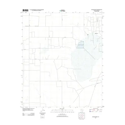
2012 Map of Cedar Point
USGS Topo · Published 2012About this map
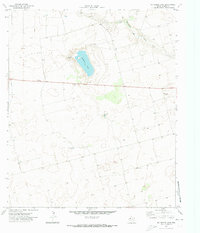
Cedar Lake dominates the eastern portion of this West Texas landscape, providing a significant geographical anchor in Gaines County. The area is characterized by a sparse network of county roads and ranch-to-market routes that connect isolated settlements and agricultural operations. White City and the namesake Cedar Point sit near the northern shores of the lake, representing the primary population centers in a region defined by wide-open plains and industrial agricultural plots. This 2012 survey illustrates the modern layout of rural transit, featuring prominent routes like Ranch Road 1066 and Ranch Road 1067. The grid-like arrangement of roads such as Co Rd-139 and Co Rd-110 highlights the systematic land division of the Llano Estacado, where the relationship between water sources like the lake and human habitation remains central to the region's geography.
Find a feature on this map
13 named features on this map. Tap any name to fly to it.
Don’t see what you’re looking for? This feature index may not catch every label — zoom into the map to look around manually.
Map Details
Editions of this 2012 Cedar Point Map
This is the sole edition of this map. No revisions or reprints were ever made.
Other maps of this area

1954 · Hobbs
USGS Topo · 1:250,000

1958 · Hobbs
USGS Topo · 1:250,000
1969 · Loop
USGS Topo · 1:24,000
1969 · Ashmore
USGS Topo · 1:24,000
1969 · Welch SW
USGS Topo · 1:24,000
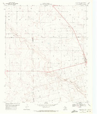
1969 · Welch West
USGS Topo · 1:24,000
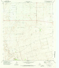
1970 · McKenzie Lake NW
USGS Topo · 1:24,000
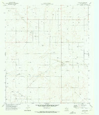
1970 · Loop SW
USGS Topo · 1:24,000
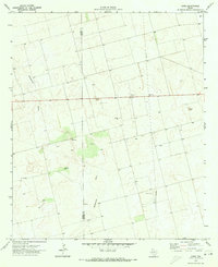
1970 · Sand
USGS Topo · 1:24,000
1970 · McKenzie Lake
USGS Topo · 1:24,000