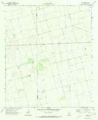
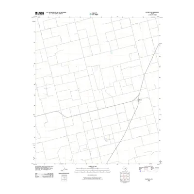
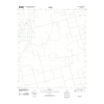
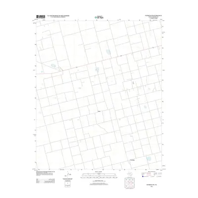
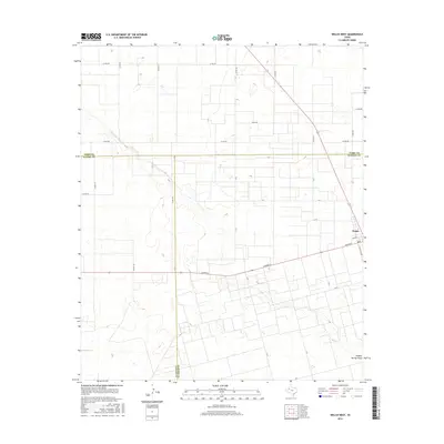
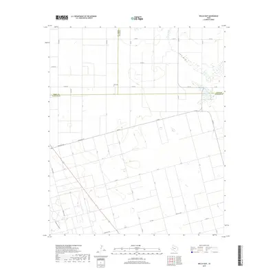
1969 Map of Welch West
USGS Topo · Published 1971About this map
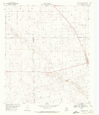
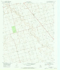
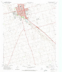
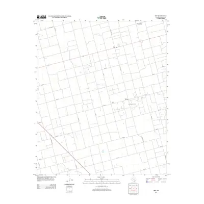
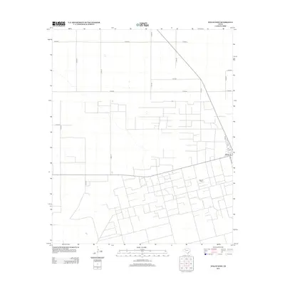
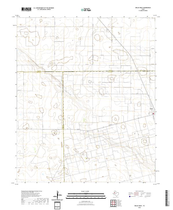
Welch Oil Field dominates this West Texas landscape, illustrating the intensive petroleum extraction character of the Permian Basin during the late 1960s. The settlement of Welch sits on the eastern edge of the survey, marked by a Wt (water tower) and a grid of local roads. The terrain is defined by the broad, meandering path of Sulphur Springs Draw, which cuts diagonally across the quadrangle. Outside of the primary oil field, the land is dotted with numerous individual Oil Wells and several Gravel Pits, indicating a landscape shaped almost entirely by resource extraction. The map also records several political boundaries where Terry, Gaines, and Dawson counties meet, showing how these administrative lines intersect with the industrial infrastructure of the day.
Find a feature on this map
10 named features on this map. Tap any name to fly to it.
Don’t see what you’re looking for? This feature index may not catch every label — zoom into the map to look around manually.
Map Details
Editions of this 1969 Welch West Map
This is the sole edition of this map. No revisions or reprints were ever made.
Historical Maps of Welch Through Time
90 maps found
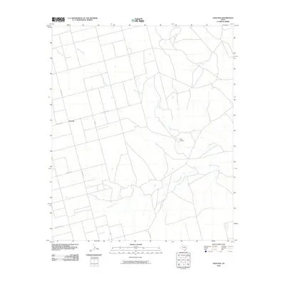
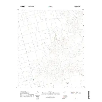
1968 Hancock
Dawson County, TX
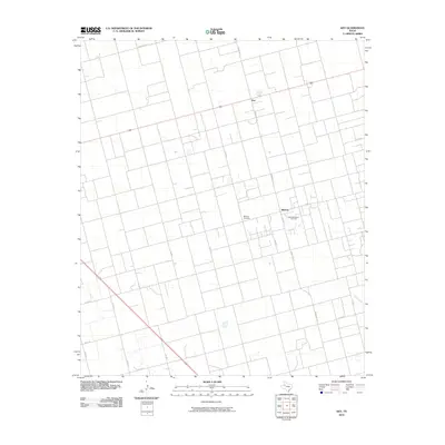
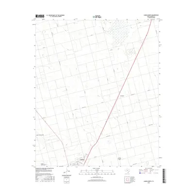
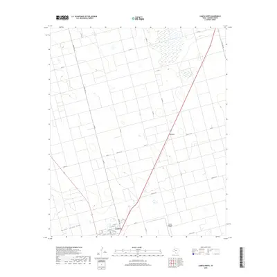
1968 Lamesa North
Dawson County, TX
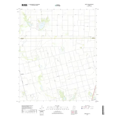
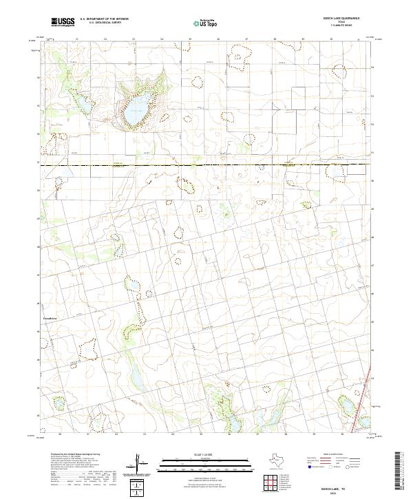
1969 Gooch Lake
Dawson County, TX
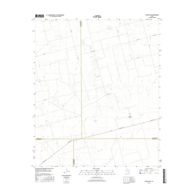
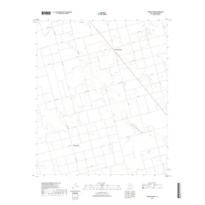
1969 Punkin Center
Dawson County, TX
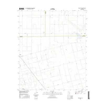
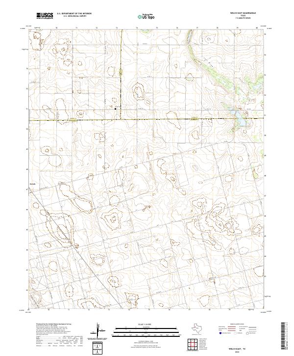
1969 Welch East
Dawson County, TX
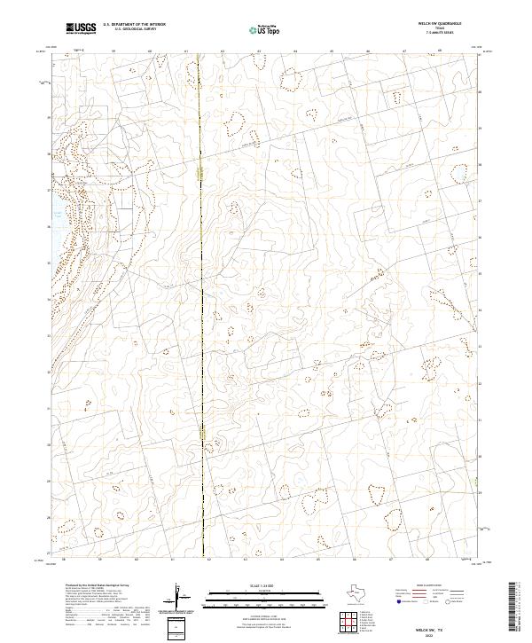
1969 Welch SW
Dawson County, TX
1969 Welch West
Dawson County, TX
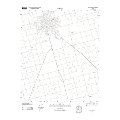
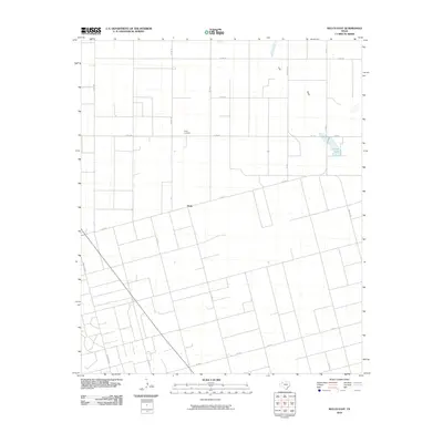
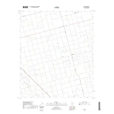
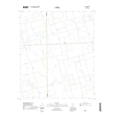
1970 Key
Dawson County, TX
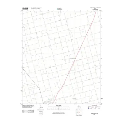
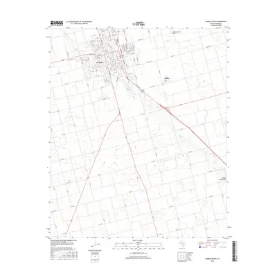
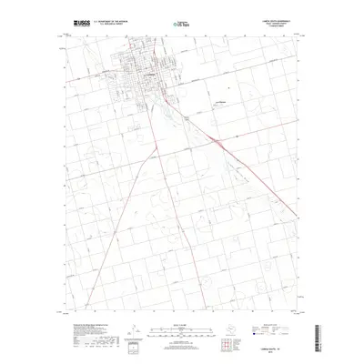
1970 Lamesa South
Dawson County, TX
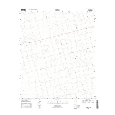
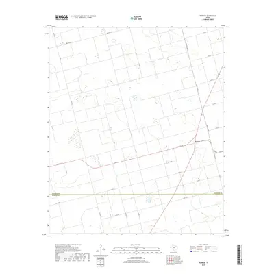
1970 Patricia
Dawson County, TX
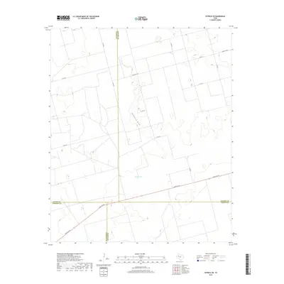
1970 Patricia NE
Dawson County, TX
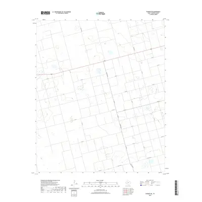
1970 Patricia SW
Dawson County, TX
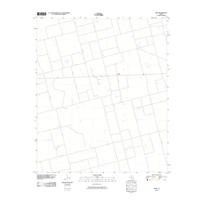
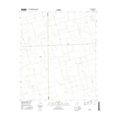
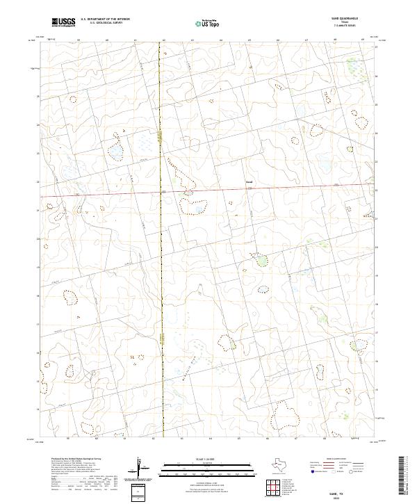
1970 Sand
Dawson County, TX
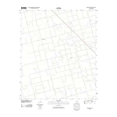
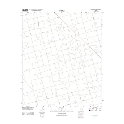
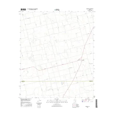
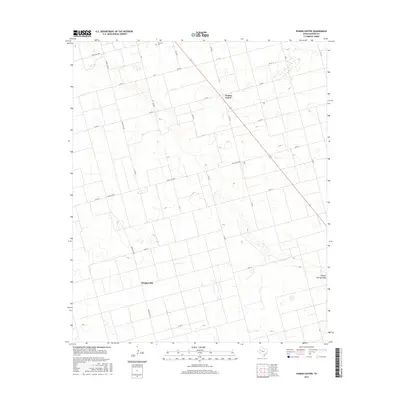
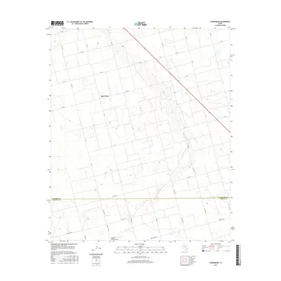
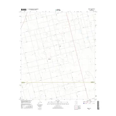
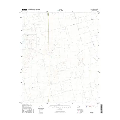
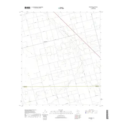
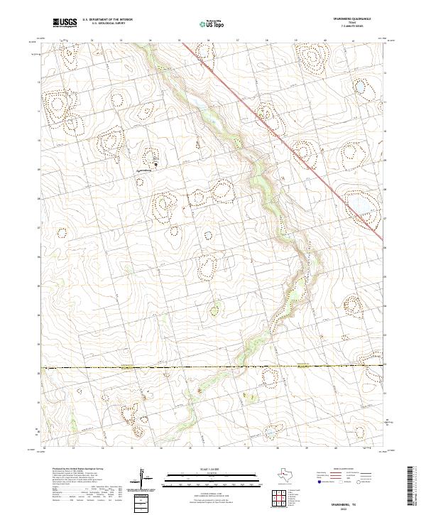
1970 Sparenberg
Dawson County, TX
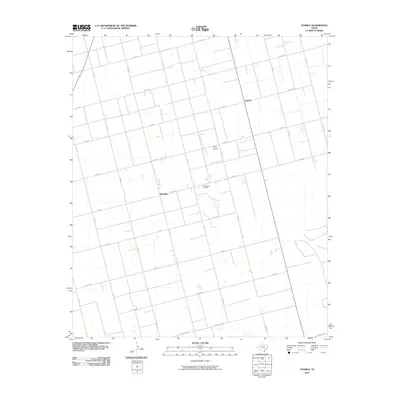
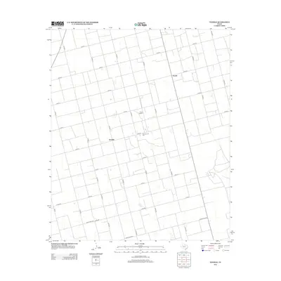
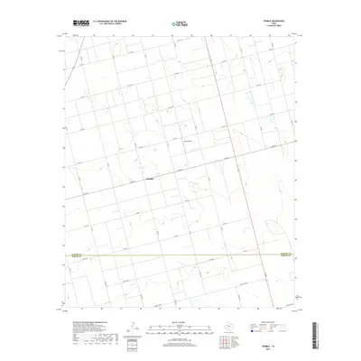
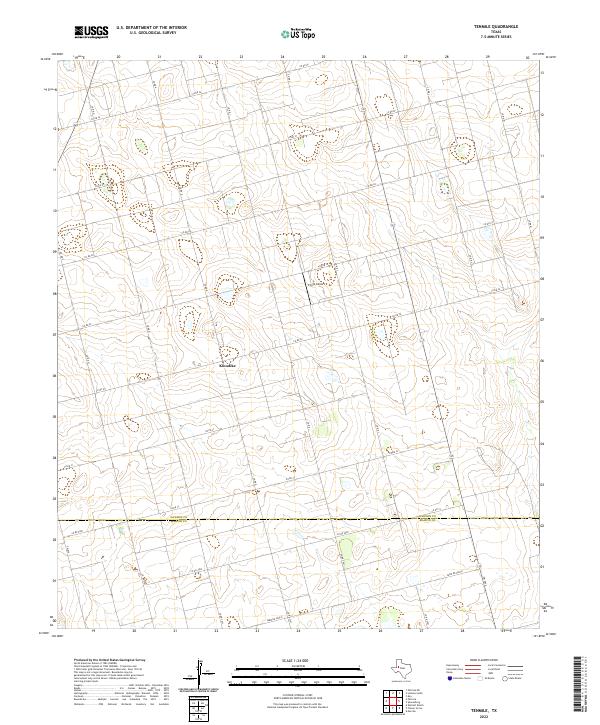
1970 Tenmile
Dawson County, TX
2010 Gooch Lake
Dawson County, TX
2010 Hancock
Dawson County, TX
2010 Key
Dawson County, TX
2010 Lamesa North
Dawson County, TX
2010 Lamesa South
Dawson County, TX
2010 Patricia
Dawson County, TX
2010 Patricia NE
Dawson County, TX
2010 Patricia SW
Dawson County, TX
2010 Punkin Center
Dawson County, TX
2010 Sand
Dawson County, TX
2010 Sparenberg
Dawson County, TX
2010 Tenmile
Dawson County, TX
2010 Welch East
Dawson County, TX
2010 Welch SW
Dawson County, TX
2010 Welch West
Dawson County, TX
2012 Gooch Lake
Dawson County, TX
2012 Hancock
Dawson County, TX
2012 Key
Dawson County, TX
2012 Lamesa North
Dawson County, TX
2012 Lamesa South
Dawson County, TX
2012 Patricia
Dawson County, TX
2012 Patricia NE
Dawson County, TX
2012 Patricia SW
Dawson County, TX
2012 Punkin Center
Dawson County, TX
2012 Sand
Dawson County, TX
2012 Sparenberg
Dawson County, TX
2012 Tenmile
Dawson County, TX
2012 Welch East
Dawson County, TX
2012 Welch SW
Dawson County, TX
2012 Welch West
Dawson County, TX
2016 Gooch Lake
Dawson County, TX
2016 Hancock
Dawson County, TX
2016 Key
Dawson County, TX
2016 Lamesa North
Dawson County, TX
2016 Lamesa South
Dawson County, TX
2016 Patricia
Dawson County, TX
2016 Patricia NE
Dawson County, TX
2016 Patricia SW
Dawson County, TX
2016 Punkin Center
Dawson County, TX
2016 Sand
Dawson County, TX
2016 Sparenberg
Dawson County, TX
2016 Tenmile
Dawson County, TX
2016 Welch East
Dawson County, TX
2016 Welch SW
Dawson County, TX
2016 Welch West
Dawson County, TX
2019 Gooch Lake
Dawson County, TX
2019 Hancock
Dawson County, TX
2019 Key
Dawson County, TX
2019 Lamesa North
Dawson County, TX
2019 Lamesa South
Dawson County, TX
2019 Patricia
Dawson County, TX
2019 Patricia NE
Dawson County, TX
2019 Patricia SW
Dawson County, TX
2019 Punkin Center
Dawson County, TX
2019 Sand
Dawson County, TX
2019 Sparenberg
Dawson County, TX
2019 Tenmile
Dawson County, TX
2019 Welch East
Dawson County, TX
2019 Welch SW
Dawson County, TX
2019 Welch West
Dawson County, TX
2022 Gooch Lake
Dawson County, TX
2022 Hancock
Dawson County, TX
2022 Key
Dawson County, TX
2022 Lamesa North
Dawson County, TX
2022 Lamesa South
Dawson County, TX
2022 Patricia
Dawson County, TX
2022 Patricia NE
Dawson County, TX
2022 Patricia SW
Dawson County, TX
2022 Punkin Center
Dawson County, TX
2022 Sand
Dawson County, TX
2022 Sparenberg
Dawson County, TX
2022 Tenmile
Dawson County, TX
2022 Welch East
Dawson County, TX
2022 Welch SW
Dawson County, TX
2022 Welch West
Dawson County, TX