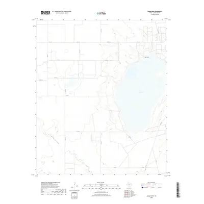
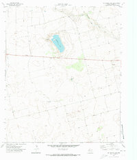
2019 Map of Cedar Point
USGS Topo · Published 2019About this map
Cedar Lake dominates the central landscape of this Gaines County region, serving as a massive topographic anchor in the High Plains. The surrounding terrain is defined by the intermittent drainage of McKenzie Draw, which cuts across the southwest, and the subtle rise of Cedar Point to the northeast of the lake bed. This area is a patchwork of agricultural land and ranching infrastructure, connected by a network of rural routes including FM Rd 1066 and numerous county roads. The mapping reveals the transition from the flat mesa top into the depressions of the draws, illustrating the natural water-collection patterns that have dictated land use in this part of West Texas for generations.
Find a feature on this map
17 named features on this map. Tap any name to fly to it.
Don’t see what you’re looking for? This feature index may not catch every label — zoom into the map to look around manually.
Map Details
Editions of this 2019 Cedar Point Map
This is the sole edition of this map. No revisions or reprints were ever made.
Other maps of this area

1954 · Hobbs
USGS Topo · 1:250,000

1958 · Hobbs
USGS Topo · 1:250,000
1969 · Loop
USGS Topo · 1:24,000
1969 · Ashmore
USGS Topo · 1:24,000
1969 · Welch SW
USGS Topo · 1:24,000
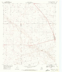
1969 · Welch West
USGS Topo · 1:24,000
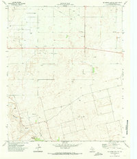
1970 · McKenzie Lake NW
USGS Topo · 1:24,000
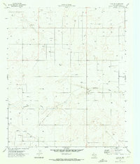
1970 · Loop SW
USGS Topo · 1:24,000
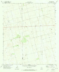
1970 · Sand
USGS Topo · 1:24,000
1970 · McKenzie Lake
USGS Topo · 1:24,000