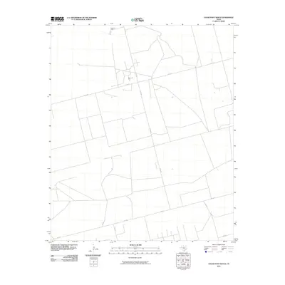
2010 Map of Cedar Point Ranch
USGS Topo · Published 2010About this map
Cedar Point Ranch serves as a primary geographic marker in this section of the High Plains, where the landscape is defined by the extraction economy and a sparse, rectilinear road network. The presence of the Amrow Oil Field underscores the region's industrial character, with production infrastructure situated among long stretches of rural county roads. A distinct network of local routes, including Co Rd 422 and the prominently named Radar Rd, provides the essential skeleton for movement between ranching lands and mineral leases. Other localized names like Walley Ln and Ne 7100 indicate the development of specific access points within the large, open tracts of Gaines County. This era of mapping shows the late-stage formalization of these rural corridors and energy sites before further expansion in the Permian Basin.
Find a feature on this map
11 named features on this map. Tap any name to fly to it.
Don’t see what you’re looking for? This feature index may not catch every label — zoom into the map to look around manually.
Map Details
Editions of this 2010 Cedar Point Ranch Map
This is the sole edition of this map. No revisions or reprints were ever made.
Other maps of this area

1954 · Hobbs
USGS Topo · 1:250,000

1958 · Hobbs
USGS Topo · 1:250,000

1970 · Seminole NE
USGS Topo · 1:24,000

1970 · Cedar Point Ranch
USGS Topo · 1:24,000

1970 · McKenzie Lake NW
USGS Topo · 1:24,000

1970 · Seminole SE
USGS Topo · 1:24,000

1970 · McKenzie Lake SE
USGS Topo · 1:24,000

1970 · McKenzie Lake
USGS Topo · 1:24,000

1971 · Five Wells Ranch NW
USGS Topo · 1:24,000

1971 · Florey
USGS Topo · 1:24,000