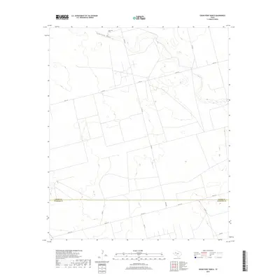
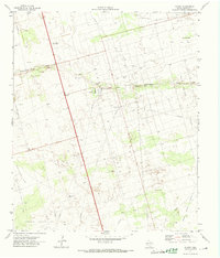
2019 Map of Cedar Point Ranch
USGS Topo · Published 2019About this map
Seminole Draw carves a path through the landscape of the Texas High Plains, defining the northern reaches of this ranchland survey. The terrain is marked by the eponymous Cedar Point Ranch, a significant landmark in a region characterized by expansive open space and an organized grid of rural roads. Crossing the southern portion of the sheet is the boundary between Gaines Co and Andrews Co, a line that separates these two key West Texas jurisdictions. Transportation across the arid landscape is facilitated by a network of local connectors, including Co Rd 422 and Co Rd 421, which link the scattered agricultural interests and homesteads. Local names like Nolley Ln and Walley Ln provide specific points of reference for genealogists and local historians tracing family holdings in this corner of the state.
Find a feature on this map
8 named features on this map. Tap any name to fly to it.
Don’t see what you’re looking for? This feature index may not catch every label — zoom into the map to look around manually.
Map Details
Editions of this 2019 Cedar Point Ranch Map
This is the sole edition of this map. No revisions or reprints were ever made.
Other maps of this area

1954 · Hobbs
USGS Topo · 1:250,000

1958 · Hobbs
USGS Topo · 1:250,000
1970 · Seminole NE
USGS Topo · 1:24,000
1970 · Cedar Point Ranch
USGS Topo · 1:24,000
1970 · McKenzie Lake NW
USGS Topo · 1:24,000
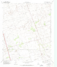
1970 · Seminole SE
USGS Topo · 1:24,000
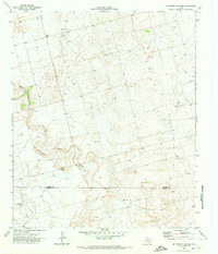
1970 · McKenzie Lake SE
USGS Topo · 1:24,000
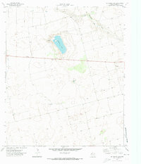
1970 · McKenzie Lake
USGS Topo · 1:24,000
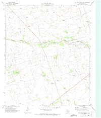
1971 · Five Wells Ranch NW
USGS Topo · 1:24,000
1971 · Florey
USGS Topo · 1:24,000