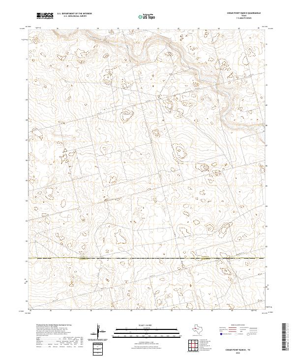
2022 Map of Cedar Point Ranch
USGS Topo · Published 2022About this map
Seminole Draw carves a winding path across the northern reaches of this high plains landscape, defining the local drainage patterns of the Texas Panhandle. The topography is marked by the distinct boundary between Gaines Co and Andrews Co, a line that bisects the southern portion of the quadrangle. This 2022 survey illustrates the modern transition of a rural ranching environment into one increasingly crisscrossed by systematic road networks. The intersection of older rural routes like Co Rd 422 and Co Rd 421 with specialized infrastructure such as Radar Rd and residential corridors like Nolley Ln speaks to the contemporary utility of the land. Small water catchments and depression contours scattered throughout the terrain suggest the ephemeral nature of water in this semi-arid region, where every drainage feature like the draw plays a critical role in the local ecology and ranching history.
Find a feature on this map
12 named features on this map. Tap any name to fly to it.
Don’t see what you’re looking for? This feature index may not catch every label — zoom into the map to look around manually.
Map Details
Editions of this 2022 Cedar Point Ranch Map
This is the sole edition of this map. No revisions or reprints were ever made.
Other maps of this area

1954 · Hobbs
USGS Topo · 1:250,000

1958 · Hobbs
USGS Topo · 1:250,000

1970 · Seminole NE
USGS Topo · 1:24,000

1970 · Cedar Point Ranch
USGS Topo · 1:24,000

1970 · McKenzie Lake NW
USGS Topo · 1:24,000

1970 · Seminole SE
USGS Topo · 1:24,000

1970 · McKenzie Lake SE
USGS Topo · 1:24,000

1970 · McKenzie Lake
USGS Topo · 1:24,000

1971 · Five Wells Ranch NW
USGS Topo · 1:24,000

1971 · Florey
USGS Topo · 1:24,000